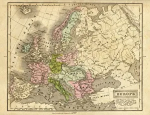
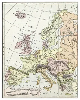
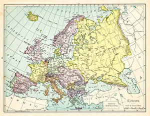
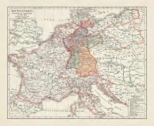
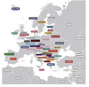
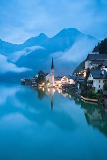
Austria, Balearic Islands, Balkans, Baltic Sea, Belarus, Benelux, Bosnia, British
Austria, Balearic Islands, Balkans, Baltic Sea, Belarus, Benelux, Bosn, Science Photo Library, 85757880
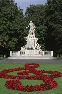
Austria, Vienna, Amedeus Mozart statue in park
Easy Retouch, Colour Image, Photography, nobody, vertical, outdoors, day, famous place, urban scene, monument, trees, tourism, flowers, arts culture and entertainment, music, musician, Park, statue
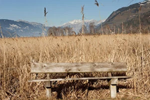
Absence, Activity, Austria, Bench, Calm, Color Image, Day, Daylight, Dry, Empty, Environment
Absence, Activity, Austria, Bench, Calm, Color Image, Day, Daylight, Dry, Gallo Landscapes, 547201177
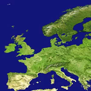
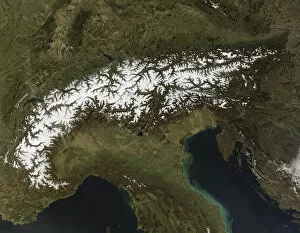
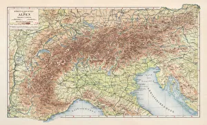
topography, satellite view, nobody, alpen, alpes, alps, austria, europe, france, mountains
topography, satellite view, nobody, alpen, alpes, alps, austria, europe, 82047884