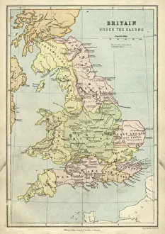
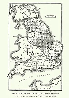
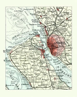
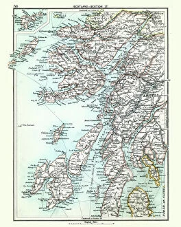
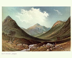
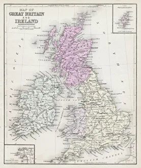
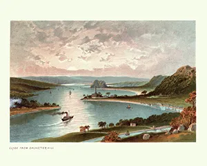
Antique map, Scotland, Jura, Mull, Argyll, Islay 19th Century
Vintage engraving of a Antique map, Scotland, Jura, Mull, Argyll, Islay 19th Century
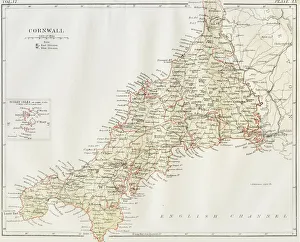
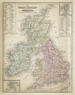
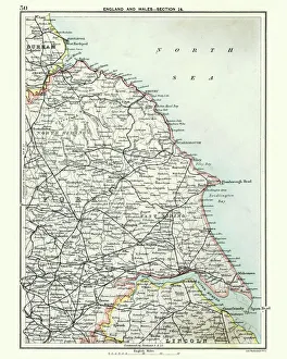
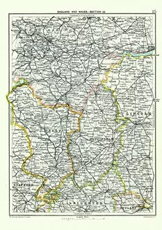
Antique map, West Yorkshire, Derby, Nottingham, Lincoln, 19th Century
Vintage engraving of a Antique map, West Yorkshire, Derby, Nottingham, Lincoln, Stafford, Leicester, Rutland, England. 19th Century
Boeing 737 aircraft landing at an airport at sunset, Stansted, Essex, England, United Kingdom
air traffic, aircraft, aircrafts, airplanes, airports, atmospheric, atmospheric light, aviation, boeing, boeings 737, british, deserted, evening atmosphere, evening atmospheres, evening sun