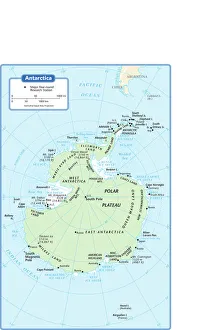
antarctica, azimuthal equal area projection, cartography, indian ocean, map, no people, pacific ocean, political map, south pole, antarctic circle, Reference Maps, 102270271
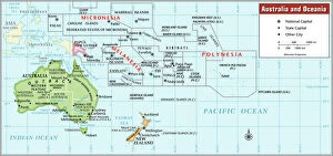
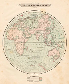
cartography, compass rose, indian ocean, map, melanesia, mercator projection, micronesia, new zealand, no people, oceania, pacific ocean, political map, polynesia, tropic of capricorn, australia
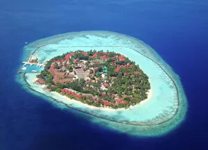
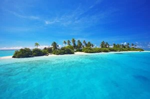
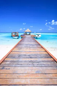
aerial view, asia, calm, day, deserted, indian ocean, island, maldives, nobody, outdoor
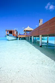
Dessert island in maldives, indian ocean
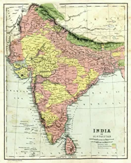
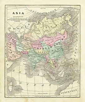
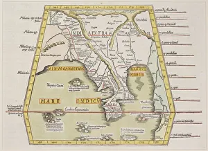
16th century, antique, archival, bangladesh, banner, bay of bengal, border, cartography, ceylon, country, document, geography, historic, historical, india, indian ocean, latitude, legend, map
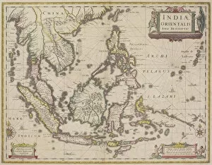
antique, archival, border, burma, cambodia, cartography, country, document, geography, historic, historical, india orientalis, indian ocean, indonesia, islands, latitude, legend, longitude, malaysia
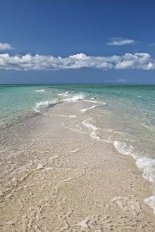
sand, beach, blue, water, sea, ocean, indian ocean, island, sandbank, africa, east africa
sand, beach, blue, water, sea, ocean, indian ocean, island, sandbank, afr, Gallo Landscapes, 603712203
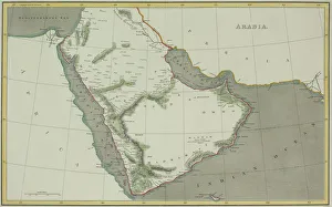
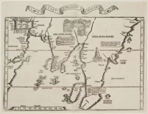
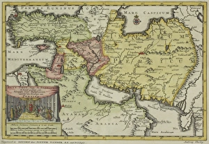
antique, archival, bay of bengal, border, cartography, country, document, geography, historic, historical, inaccurate, india, indian ocean, malaysia, map, nobody, peninsula, scale, text, thailand
compass rose, equator, indian ocean, international dateline, map, melanesia, micronesia, new zealand, no people, oceania, pacific ocean, polynesia, relief map, topography, tropic of capricorn