mail_outline sales@mediastorehouse.com
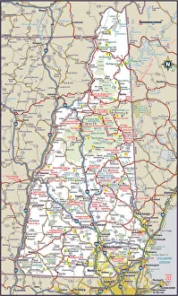
New Hampshire Highway MapReference Maps, Top Sellers Art Prints, 103312572
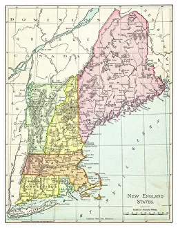
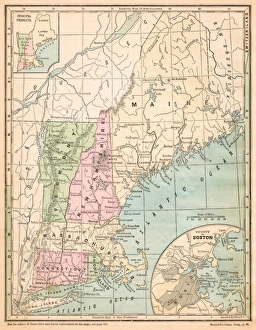
Map of New England states 1895The Rand-McNally Grammar School Geography 1895 - Chicago & New York
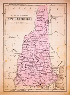
New Hampshire 1852 Map
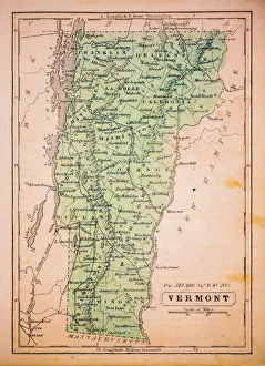
Vermont 1852 Map
Map of Northeast United States, published in 1882Map of the Northeast United States of America. Wood engraving, published in 1882
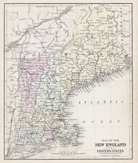
USA New England states map 1875The Independent Course Comprehensive Geography by James Monteith, A.S. Barnes & Co, New York & Chicago 1875
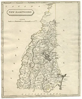
Antique map of New Hampshire USA 19th century 1819This is a copperplate engraving, a 19th century map of New Hampshire in the United States of America, with hand-coloured borders with Canada, Maine, Massachusetts and Vermont
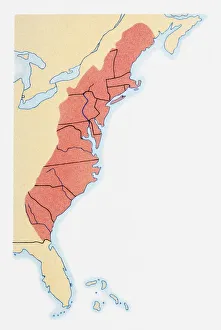
Illustration of states on East Coast of the USA
Map of New Hampshire USA 1883Warrens Common School Geography
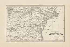
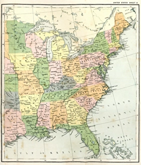
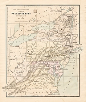
Antique Map of Eastern USAAntique Map from 1867 of Eastern United States of America
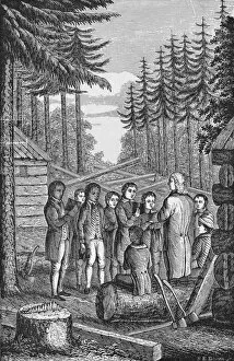
Dartmouth College FoundingIllustration of the founding of Dartmouth College in 1769, Hanover, New Hampshire. (Photo by Kean Collection/Getty Images)
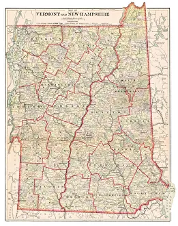
Vermont and New Hampshire 1877Warrens Common School Geography 1877
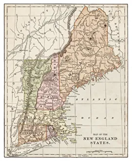
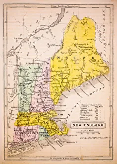
Map of New England 1877Warrens Common School Geography 1877
New England States map 1889Indiana Educational Series The Complete Geography - Indianapolis 1889
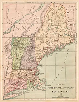
USA Northern Atlantic states 1881Harpers School Geography, New York, Harpers and Brothers, 1881
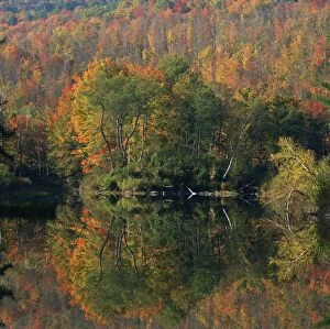
Autumn, Day, Lake, Multicolored, Nature, New Hampshire, Nobody, Peacefulness, QuietEcho Lake Lincoln New Hampshire USA
Map of Maine and Vermont1883Warrens Common School Geography
Map of Middle states USA 1883Warrens Common School Geography
New England States USA map 1881Coltons Common School Geography 1881 New York Sheldon and Co
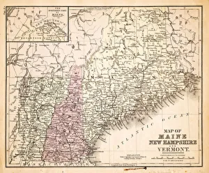
Maine New Hampshire and Vermont 1867Mitchells Modern Atlas - Published by E.H. Buttler & Co - Philadelphia 1867
Maine New Hampshire and Connecticut 1856Colton and Fitchs Modern School Geography by George W. Fitch - New York 1856
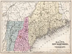
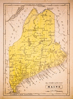
Maine 1852 Map
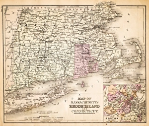
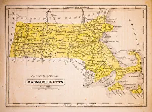
Massachusetts 1852 Map
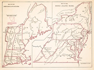
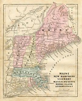
New England 1852 Map
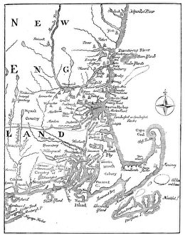
Vintage Map of New England at the beginning of the 18th century
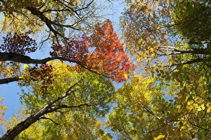
Colourful foliage in autumn, Indian Summer, Franconia Notch State Park, White Mountains National Forest, New Hampshire, New England, USA, North America
North Carolina, NC, highlighted on a contour map of USA, United States of America, 3D illustration
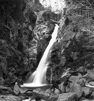
Glen Ellis Waterfall1859: Two men climbing rocks at the Glen Ellis waterfall at Pinkham Notch, White Mountains, New Hampshire. (Photo by William England/London Stereoscopic Company/Getty Images)