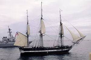
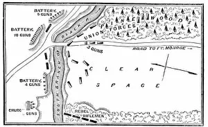
USS Constitution, Old Ironsides, Boston, Massachusetts
battleship, boat, boston, coast, day, historic, marine transportation, massachusetts, massachusetts. atlantic ocean, mast, military, nautical, navy, new england, north america, ocean, old
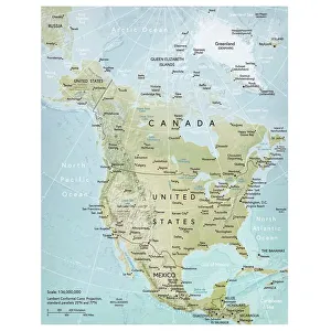
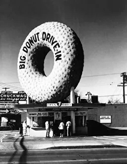
North America, US, USA, United States, United States of America, americana, color photography
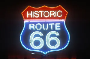
North America, US, USA, United States, United States of America, amer, Neon Art, 73071271
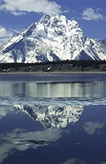
Jackson Lake, Grand Teton National Park, Wyoming
Destination, Extreme Terrain, Grand Teton, Grand Teton National Park, Jackson Lake, Lake, Landscape & Scenics, Location, Looking, Mountain, Mountain Range, Mountaintop, National Park, Nature, Nobody