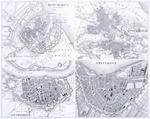
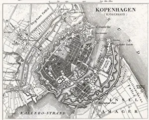
Denmark Maps Collection
Unraveling Denmark's treasures: Maps that inspire wanderlust
Choose a picture from our Denmark Maps Collection for your Wall Art and Photo Gifts
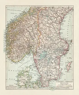
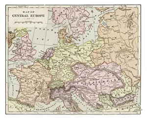
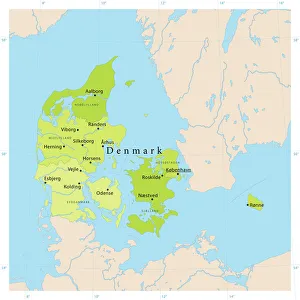
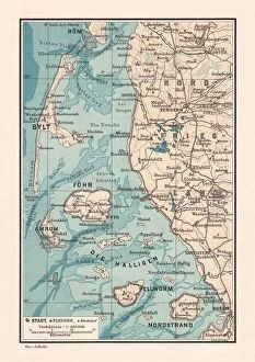
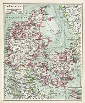
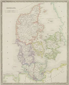
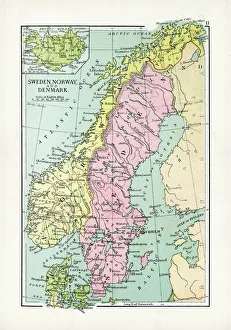
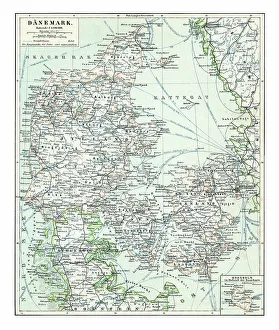
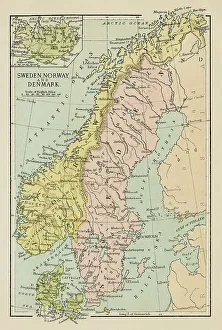
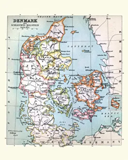
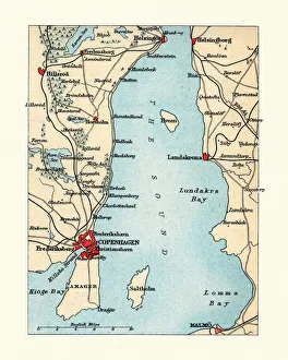
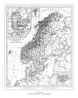
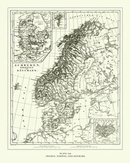
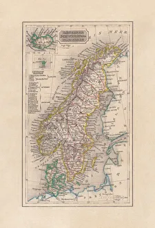
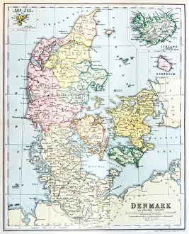
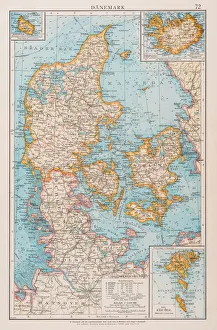
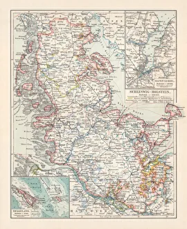
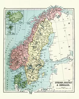
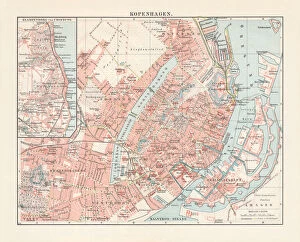
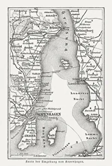
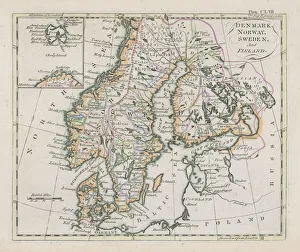
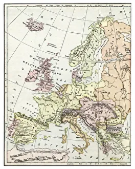
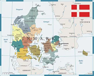
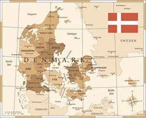
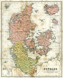
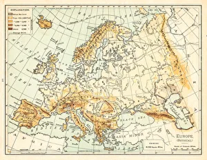
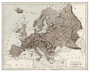
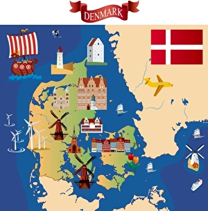
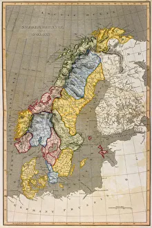
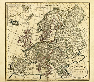
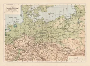
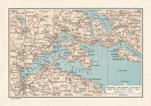
Denmark is a country located in Northern Europe, bordered by Germany to the south and sharing maritime borders with Sweden and Norway. The map of Denmark showcases a predominantly flat landscape with a scattering of islands, the largest of which are Zealand, Funen, and the Jutland Peninsula.
91 items