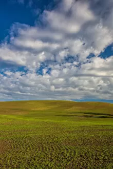
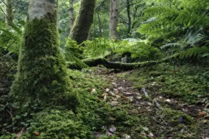
color image, photography, wind power, wind turbine, power station, fog, landscape
color image, photography, wind power, wind turbine, power station, fo, Gallo Landscapes, 134363200
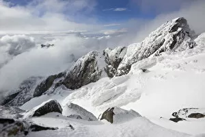
color image, photography, no people, horizontal, outdoors, day, elevated view, copy space
color image, photography, no people, horizontal, outdoors, day, elevat, Gallo Landscapes, 134363443