Home > Photo Libraries > Kean
Map Of Greater New York In 1890s

![]()
Wall Art and Photo Gifts from Fine Art Storehouse
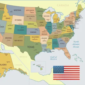
Map Of Greater New York In 1890s
Map of the greater New York area, late 1890s. Engraving by E. F. Fisk. (Photo by Kean Collection/Getty Images)
Kean Collection
Media ID 13588125
© 2005 Getty Images
1890 1899 Greater Jersey Maps And Globes New York City North Picture Residential District
FEATURES IN THESE COLLECTIONS
> Map
> Historical Maps
> Map
> Photo Libraries
> Kean
MADE IN THE UK
Safe Shipping with 30 Day Money Back Guarantee
FREE PERSONALISATION*
We are proud to offer a range of customisation features including Personalised Captions, Color Filters and Picture Zoom Tools
SECURE PAYMENTS
We happily accept a wide range of payment options so you can pay for the things you need in the way that is most convenient for you
* Options may vary by product and licensing agreement. Zoomed Pictures can be adjusted in the Basket.