aerial view, chinamora communal area, color image, day, field, horizontal, landscape
aerial view, chinamora communal area, color image, day, field, horizo, Gallo Landscapes, 142034982
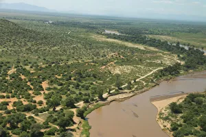
aerial view, color image, day, field, harare, harare district, horizontal, landscape
aerial view, color image, day, field, harare, harare district, horizon, Gallo Landscapes, 142034976
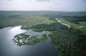
aerial view, color image, day, horizontal, lake darwindale, lakeshore, landscape
aerial view, color image, day, horizontal, lake darwindale, lakeshore, Gallo Landscapes, 142034978
aerial view, africa, coastline, color image, colour image, copy space, day, desert road
aerial view, africa, coastline, color image, colour image, copy space, Gallo Landscapes, 145081840
aerial view, color image, day, desert, dirt track, grass, journey, lake sibaya, landscape
aerial view, color image, day, desert, dirt track, grass, journey, lake, Gallo Landscapes, 145081916
aerial view, beach, coastal forest, color image, colour image, copy space, day, dune
aerial view, beach, coastal forest, color image, colour image, copy s, Gallo Landscapes, 150006494
aerial view, color image, colour image, day, daytime, eden municipality, forest, george
aerial view, color image, colour image, day, daytime, eden municipali, Gallo Landscapes, 157862299
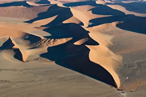
aerial view, eco tourism, landscape, namib desert, namibia, no people, scenics, soussvlei
aerial view, eco tourism, landscape, namib desert, namibia, no people, Gallo Landscapes, 166837819
aerial view, animal themes, animals in the wild, antelope, barren, beauty in nature
aerial view, animal themes, animals in the wild, antelope, barren, be, Gallo Landscapes, 114217512
nobody, background, nature, tropical, storm, aerial view, weather, cyclone
" nobody, background, nature, tropical, storm, aerial view, weather, cyc, 88179948
Above, Aerial, Aerial View, Aerospace Industry, Astronomy, Bright, Earth (Planet)
Above, Aerial, Aerial View, Aerospace Industry, Astronomy, Bright, Ear, 78402890
521, aerial view, antique, architecture, black & white, buildings, city, cityscape
521, aerial view, antique, architecture, black & white, buildings, cit, Vintage Black & White, 86540096
Landscape, Nature, adriatic sea, aerial view, croatia, drone point of view, hdr, mljet, mljet national park, polace, scenic, summer, tranquil scene, travel destinations, wonderlust, Croatia