mail_outline sales@mediastorehouse.com
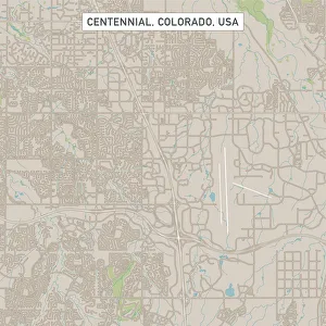
Centennial Colorado US City Street MapVector Illustration of a City Street Map of Centennial, Colorado, USA. Scale 1:60, 000. All source data is in the public domain. U.S
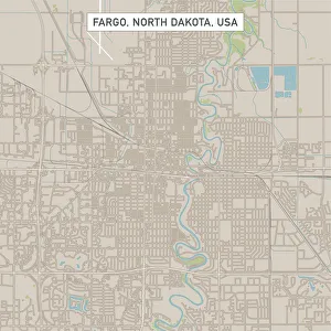
Fargo North Dakota US City Street MapVector Illustration of a City Street Map of Fargo, North Dakota, USA. Scale 1:60, 000. All source data is in the public domain. U.S
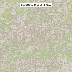
Columbia Missouri US City Street MapVector Illustration of a City Street Map of Columbia, Missouri, USA. Scale 1:60, 000. All source data is in the public domain. U.S
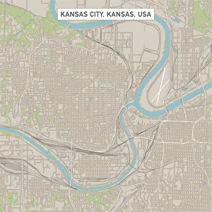
Kansas City Kansas US City Street MapVector Illustration of a City Street Map of Kansas City, Kansas, USA. Scale 1:60, 000. All source data is in the public domain. U.S
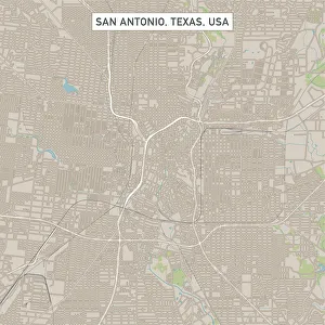
San Antonio Texas US City Street MapVector Illustration of a City Street Map of San Antonio, Texas, USA. Scale 1:60, 000. All source data is in the public domain. U.S
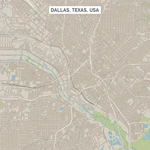
Dallas Texas US City Street MapVector Illustration of a City Street Map of Dallas, Texas, USA. Scale 1:60, 000. All source data is in the public domain. U.S
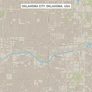
Oklahoma City Oklahoma US City Street MapVector Illustration of a City Street Map of Oklahoma City, Oklahoma, USA. Scale 1:60, 000. All source data is in the public domain. U.S
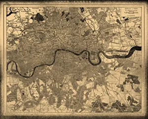
London city map
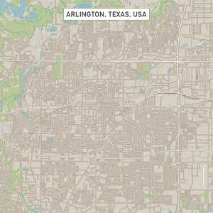
Arlington Texas US City Street MapVector Illustration of a City Street Map of Arlington, Texas, USA. Scale 1:60, 000. All source data is in the public domain. U.S
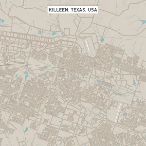
Killeen Texas US City Street MapVector Illustration of a City Street Map of Killeen, Texas, USA. Scale 1:60, 000. All source data is in the public domain. U.S
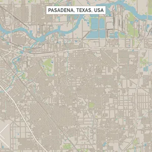
Pasadena Texas US City Street MapVector Illustration of a City Street Map of Pasadena, Texas, USA. Scale 1:60, 000. All source data is in the public domain. U.S
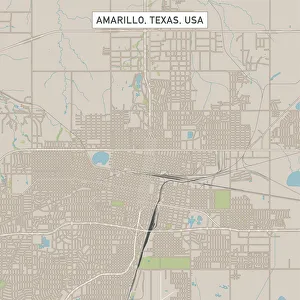
Amarillo Texas US City Street MapVector Illustration of a City Street Map of Amarillo, Texas, USA. Scale 1:60, 000. All source data is in the public domain. U.S
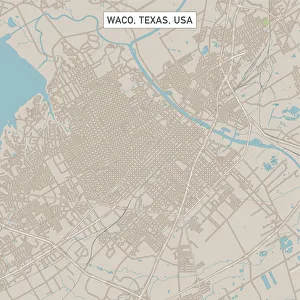
Waco Texas US City Street MapVector Illustration of a City Street Map of Waco, Texas, USA. Scale 1:60, 000. All source data is in the public domain. U.S
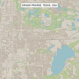
Grand Prairie Texas US City Street MapVector Illustration of a City Street Map of Grand Prairie, Texas, USA. Scale 1:60, 000. All source data is in the public domain. U.S
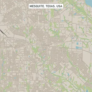
Mesquite Texas US City Street MapVector Illustration of a City Street Map of Mesquite, Texas, USA. Scale 1:60, 000. All source data is in the public domain. U.S
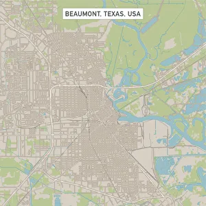
Beaumont Texas US City Street MapVector Illustration of a City Street Map of Beaumont, Texas, USA. Scale 1:60, 000. All source data is in the public domain. U.S
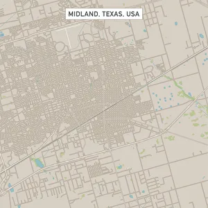
Midland Texas US City Street MapVector Illustration of a City Street Map of Midland, Texas, USA. Scale 1:60, 000. All source data is in the public domain. U.S
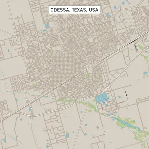
Odessa Texas US City Street MapVector Illustration of a City Street Map of Odessa, Texas, USA. Scale 1:60, 000. All source data is in the public domain. U.S
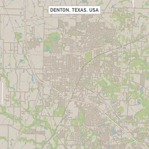
Denton Texas US City Street MapVector Illustration of a City Street Map of Denton, Texas, USA. Scale 1:60, 000. All source data is in the public domain. U.S
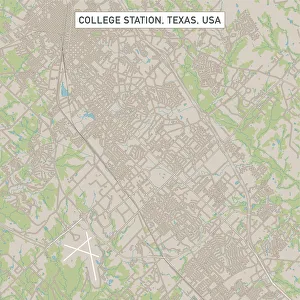
College Station Texas US City Street MapVector Illustration of a City Street Map of College Station, Texas, USA. Scale 1:60, 000. All source data is in the public domain. U.S
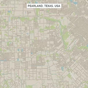
Pearland Texas US City Street MapVector Illustration of a City Street Map of Pearland, Texas, USA. Scale 1:60, 000. All source data is in the public domain. U.S
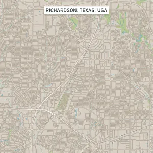
Richardson Texas US City Street MapVector Illustration of a City Street Map of Richardson, Texas, USA. Scale 1:60, 000. All source data is in the public domain. U.S
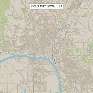
Sioux City Iowa US City Street MapVector Illustration of a City Street Map of Sioux City, Iowa, USA. Scale 1:60, 000. All source data is in the public domain. U.S
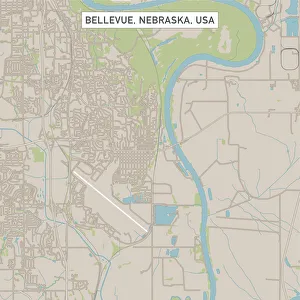
Bellevue Nebraska US City Street MapVector Illustration of a City Street Map of Bellevue, Nebraska, USA. Scale 1:60, 000. All source data is in the public domain. U.S
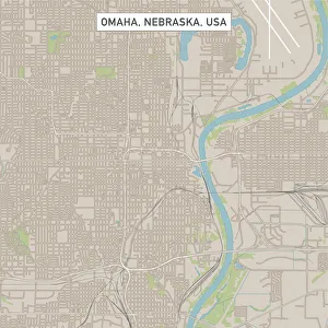
Omaha Nebraska US City Street MapVector Illustration of a City Street Map of Omaha, Nebraska, USA. Scale 1:60, 000. All source data is in the public domain. U.S
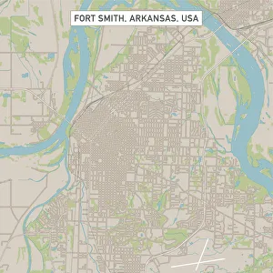
Fort Smith Arkansas US City Street MapVector Illustration of a City Street Map of Fort Smith, Arkansas, USA. Scale 1:60, 000. All source data is in the public domain. U.S
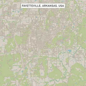
Fayetteville Arkansas US City Street MapVector Illustration of a City Street Map of Fayetteville, Arkansas, USA. Scale 1:60, 000. All source data is in the public domain. U.S
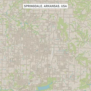
Springdale Arkansas US City Street MapVector Illustration of a City Street Map of Springdale, Arkansas, USA. Scale 1:60, 000. All source data is in the public domain. U.S
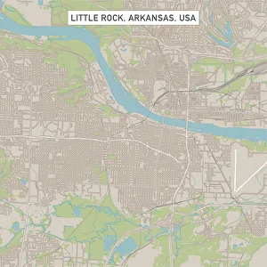
Little Rock Arkansas US City Street MapVector Illustration of a City Street Map of Little Rock, Arkansas, USA. Scale 1:60, 000. All source data is in the public domain. U.S
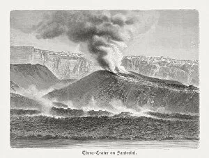
Thera crater on Santorini, Greece, wood engraving, published in 1897Thera crater on the Greek island Santorini. Wood engraving after a photograph, published in 1897
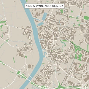
Kingas Lynn Norfolk UK City Street MapVector Illustration of a City Street Map of Kingas Lynn, Norfolk, UK. Included files are EPS (v10) and Hi-Res JPG. Data courtesy from Ordnance Survey: VectorMap District https
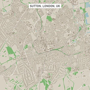
Sutton London UK City Street MapVector Illustration of a City Street Map of Sutton, London, UK. Included files are EPS (v10) and Hi-Res JPG. Data courtesy from Ordnance Survey: VectorMap District https
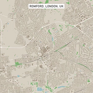
Romford London UK City Street MapVector Illustration of a City Street Map of Romford, London, UK. Included files are EPS (v10) and Hi-Res JPG. Data courtesy from Ordnance Survey: VectorMap District https
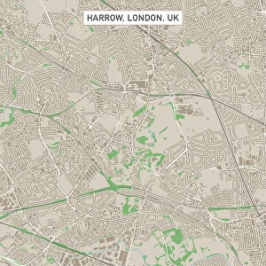
Harrow London UK City Street MapVector Illustration of a City Street Map of Harrow, London, UK. Included files are EPS (v10) and Hi-Res JPG. Data courtesy from Ordnance Survey: VectorMap District https
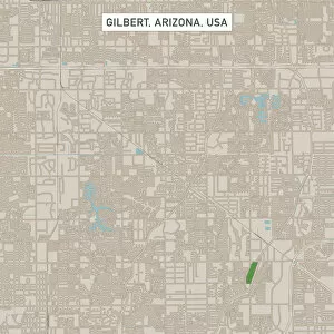
Gilbert Arizona US City Street MapVector Illustration of a City Street Map of Gilbert, Arizona, USA. Scale 1:60, 000. All source data is in the public domain. U.S
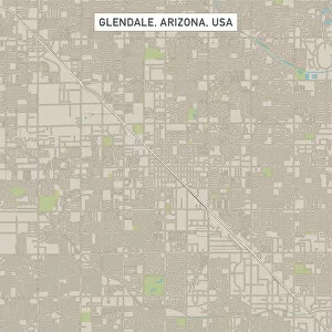
Glendale Arizona US City Street MapVector Illustration of a City Street Map of Glendale, Arizona, USA. Scale 1:60, 000. All source data is in the public domain. U.S
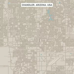
Chandler Arizona US City Street MapVector Illustration of a City Street Map of Chandler, Arizona, USA. Scale 1:60, 000. All source data is in the public domain. U.S
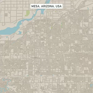
Mesa Arizona US City Street MapVector Illustration of a City Street Map of Mesa, Arizona, USA. Scale 1:60, 000. All source data is in the public domain. U.S
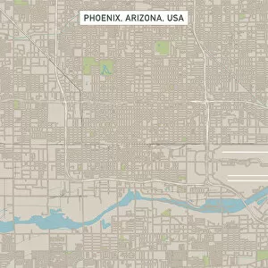
Phoenix Arizona US City Street MapVector Illustration of a City Street Map of Phoenix, Arizona, USA. Scale 1:60, 000. All source data is in the public domain. U.S
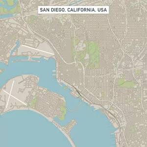
San DiegoCaliforniaUSCityStreetMap_60000Vector Illustration of a City Street Map of San Diego, California, USA. Scale 1:60, 000. All source data is in the public domain. U.S
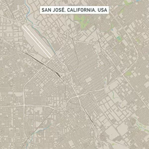
San Jose California US City Street MapVector Illustration of a City Street Map of San Jose, California, USA. Scale 1:60, 000. All source data is in the public domain. U.S
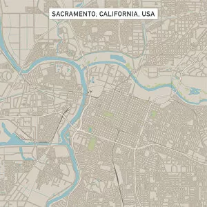
Sacramento California US City Street MapVector Illustration of a City Street Map of Sacramento, California, USA. Scale 1:60, 000. All source data is in the public domain. U.S
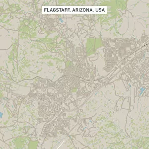
Flagstaff Arizona US City Street MapVector Illustration of a City Street Map of Flagstaff, Arizona, USA. Scale 1:60, 000. All source data is in the public domain. U.S
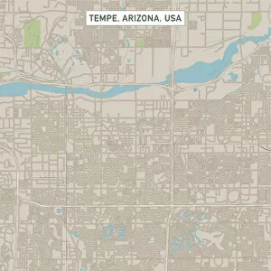
Tempe Arizona US City Street MapVector Illustration of a City Street Map of Tempe, Arizona, USA. Scale 1:60, 000. All source data is in the public domain. U.S
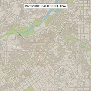
Riverside California US City Street MapVector Illustration of a City Street Map of Riverside, California, USA. Scale 1:60, 000. All source data is in the public domain. U.S
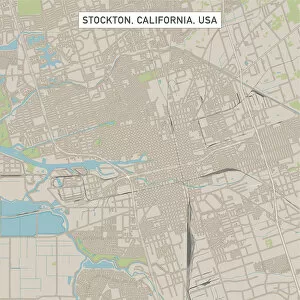
Stockton California US City Street MapVector Illustration of a City Street Map of Stockton, California, USA. Scale 1:60, 000. All source data is in the public domain. U.S
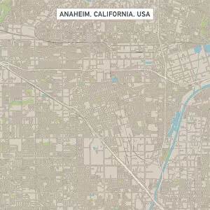
Anaheim California US City Street MapVector Illustration of a City Street Map of Anaheim, California, USA. Scale 1:60, 000. All source data is in the public domain. U.S
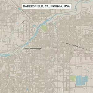
Bakersfield California US City Street MapVector Illustration of a City Street Map of Bakersfield, California, USA. Scale 1:60, 000. All source data is in the public domain. U.S