mail_outline sales@mediastorehouse.com
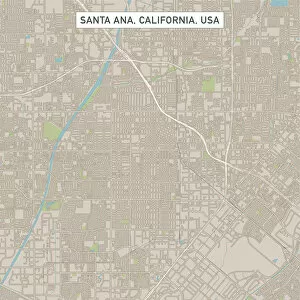
Santa Ana California US City Street MapVector Illustration of a City Street Map of Santa Ana, California, USA. Scale 1:60, 000. All source data is in the public domain. U.S
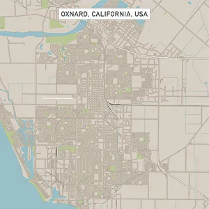
Oxnard California US City Street MapVector Illustration of a City Street Map of Oxnard, California, USA. Scale 1:60, 000. All source data is in the public domain. U.S
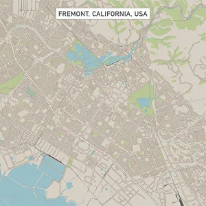
Fremont California US City Street MapVector Illustration of a City Street Map of Fremont, California, USA. Scale 1:60, 000. All source data is in the public domain. U.S
Fontana California US City Street MapVector Illustration of a City Street Map of Fontana, California, USA. Scale 1:60, 000. All source data is in the public domain. U.S
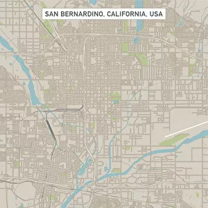
San Bernardino California US City Street MapVector Illustration of a City Street Map of San Bernardino, California, USA. Scale 1:60, 000. All source data is in the public domain. U.S
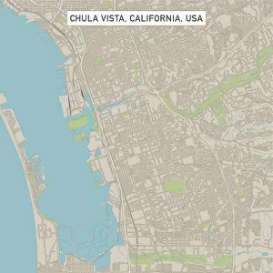
Chula Vista California US City Street MapVector Illustration of a City Street Map of Chula Vista, California, USA. Scale 1:60, 000. All source data is in the public domain. U.S
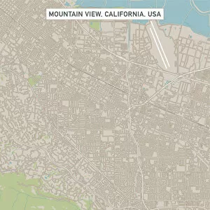
Mountain View California US City Street MapVector Illustration of a City Street Map of Mountain View, California, USA. Scale 1:60, 000. All source data is in the public domain. U.S
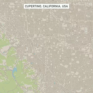
Cupertino California US City Street MapVector Illustration of a City Street Map of Cupertino, California, USA. Scale 1:60, 000. All source data is in the public domain. U.S
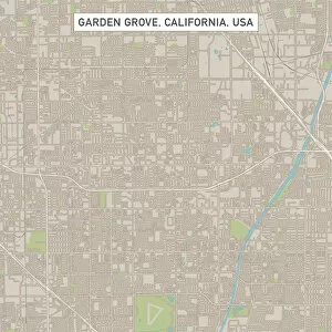
Garden Grove California US City Street MapVector Illustration of a City Street Map of Garden Grove, California, USA. Scale 1:60, 000. All source data is in the public domain. U.S
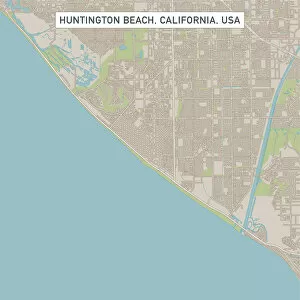
Huntington Beach California US City Street MapVector Illustration of a City Street Map of Huntington Beach, California, USA. Scale 1:60, 000. All source data is in the public domain. U.S
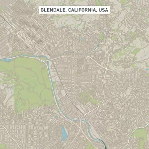
Glendale California US City Street MapVector Illustration of a City Street Map of Glendale, California, USA. Scale 1:60, 000. All source data is in the public domain. U.S
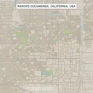
Rancho Cucamonga California US City Street MapVector Illustration of a City Street Map of Rancho Cucamonga, California, USA. Scale 1:60, 000. All source data is in the public domain. U.S
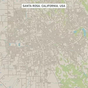
Santa Rosa California US City Street MapVector Illustration of a City Street Map of Santa Rosa, California, USA. Scale 1:60, 000. All source data is in the public domain. U.S
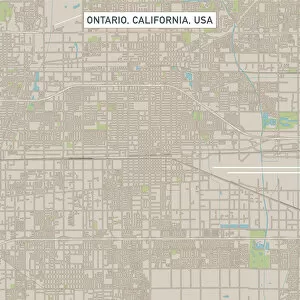
Ontario California US City Street MapVector Illustration of a City Street Map of Ontario, California, USA. Scale 1:60, 000. All source data is in the public domain. U.S
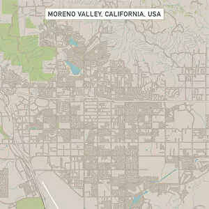
Moreno Valley California US City Street MapVector Illustration of a City Street Map of Moreno Valley, California, USA. Scale 1:60, 000. All source data is in the public domain. U.S
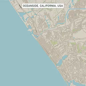
Oceanside California US City Street MapVector Illustration of a City Street Map of Oceanside, California, USA. Scale 1:60, 000. All source data is in the public domain. U.S
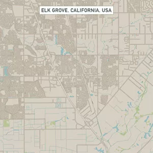
Elk Grove California US City Street MapVector Illustration of a City Street Map of Elk Grove, California, USA. Scale 1:60, 000. All source data is in the public domain. U.S
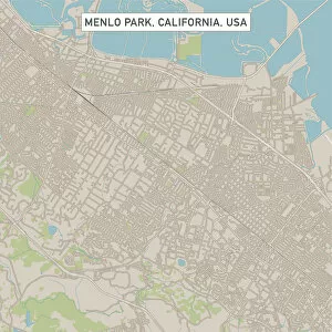
Menlo Park California US City Street MapVector Illustration of a City Street Map of Menlo Park, California, USA. Scale 1:60, 000. All source data is in the public domain. U.S
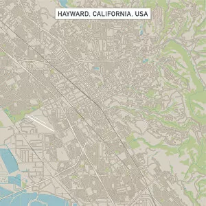
Hayward California US City Street MapVector Illustration of a City Street Map of Hayward, California, USA. Scale 1:60, 000. All source data is in the public domain. U.S
Sunnyvale California US City Street MapVector Illustration of a City Street Map of Sunnyvale, California, USA. Scale 1:60, 000. All source data is in the public domain. U.S
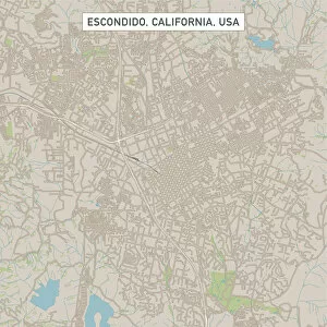
Escondido California US City Street MapVector Illustration of a City Street Map of Escondido, California, USA. Scale 1:60, 000. All source data is in the public domain. U.S
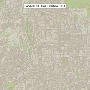
Pasadena California US City Street MapVector Illustration of a City Street Map of Pasadena, California, USA. Scale 1:60, 000. All source data is in the public domain. U.S
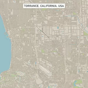
Torrance California US City Street MapVector Illustration of a City Street Map of Torrance, California, USA. Scale 1:60, 000. All source data is in the public domain. U.S
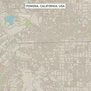
Pomona California US City Street MapVector Illustration of a City Street Map of Pomona, California, USA. Scale 1:60, 000. All source data is in the public domain. U.S
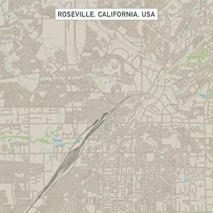
Roseville California US City Street MapVector Illustration of a City Street Map of Roseville, California, USA. Scale 1:60, 000. All source data is in the public domain. U.S
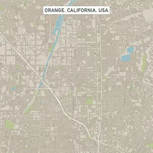
Orange California US City Street MapVector Illustration of a City Street Map of Orange, California, USA. Scale 1:60, 000. All source data is in the public domain. U.S
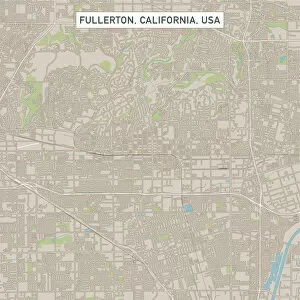
Fullerton California US City Street MapVector Illustration of a City Street Map of Fullerton, California, USA. Scale 1:60, 000. All source data is in the public domain. U.S
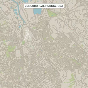
Concord California US City Street MapVector Illustration of a City Street Map of Concord, California, USA. Scale 1:60, 000. All source data is in the public domain. U.S
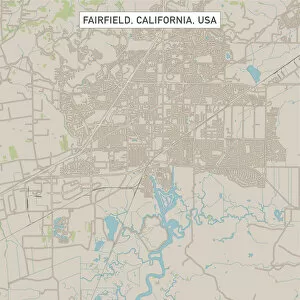
Fairfield California US City Street MapVector Illustration of a City Street Map of Fairfield, California, USA. Scale 1:60, 000. All source data is in the public domain. U.S
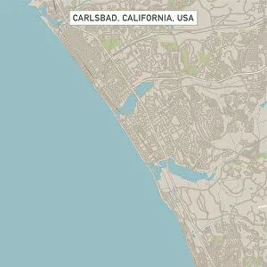
Carlsbad California US City Street MapVector Illustration of a City Street Map of Carlsbad, California, USA. Scale 1:60, 000. All source data is in the public domain. U.S
Costa Mesa California US City Street MapVector Illustration of a City Street Map of Costa Mesa, California, USA. Scale 1:60, 000. All source data is in the public domain. U.S
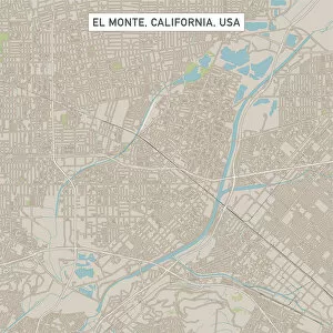
El Monte California US City Street MapVector Illustration of a City Street Map of El Monte, California, USA. Scale 1:60, 000. All source data is in the public domain. U.S
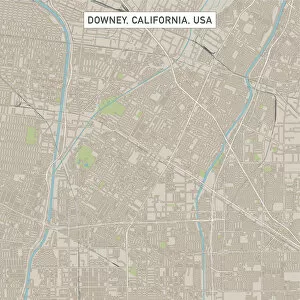
Downey California US City Street MapVector Illustration of a City Street Map of Downey, California, USA. Scale 1:60, 000. All source data is in the public domain. U.S
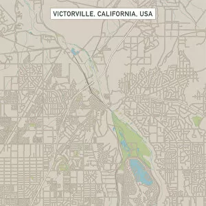
Victorville California US City Street MapVector Illustration of a City Street Map of Victorville, California, USA. Scale 1:60, 000. All source data is in the public domain. U.S
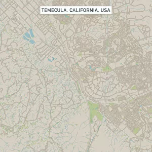
Temecula California US City Street MapVector Illustration of a City Street Map of Temecula, California, USA. Scale 1:60, 000. All source data is in the public domain. U.S
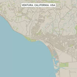
Ventura California US City Street MapVector Illustration of a City Street Map of Ventura, California, USA. Scale 1:60, 000. All source data is in the public domain. U.S
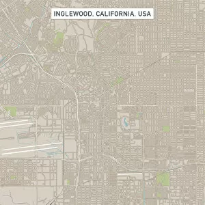
Inglewood California US City Street MapVector Illustration of a City Street Map of Inglewood, California, USA. Scale 1:60, 000. All source data is in the public domain. U.S
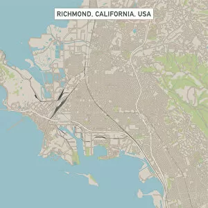
Richmond California US City Street MapVector Illustration of a City Street Map of Richmond, California, USA. Scale 1:60, 000. All source data is in the public domain. U.S
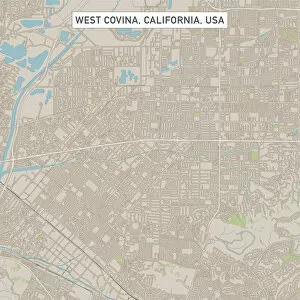
West Covina California US City Street MapVector Illustration of a City Street Map of West Covina, California, USA. Scale 1:60, 000. All source data is in the public domain. U.S
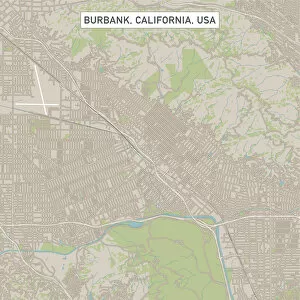
Burbank California US City Street MapVector Illustration of a City Street Map of Burbank (Los Angeles), California, USA. Scale 1:60, 000. All source data is in the public domain. U.S
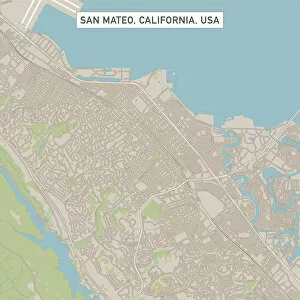
San Mateo California US City Street MapVector Illustration of a City Street Map of San Mateo, California, USA. Scale 1:60, 000. All source data is in the public domain. U.S
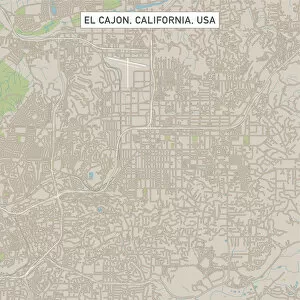
El Cajon California US City Street MapVector Illustration of a City Street Map of El Cajon, California, USA. Scale 1:60, 000. All source data is in the public domain. U.S
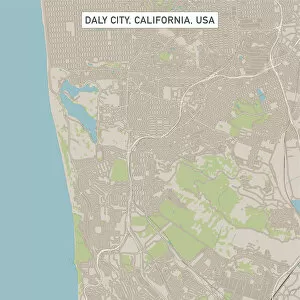
Daly City California US City Street MapVector Illustration of a City Street Map of Daly City, California, USA. Scale 1:60, 000. All source data is in the public domain. U.S
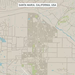
Santa Maria California US City Street MapVector Illustration of a City Street Map of Santa Maria (Santa Barbara), California, USA. Scale 1:60, 000. All source data is in the public domain. U.S
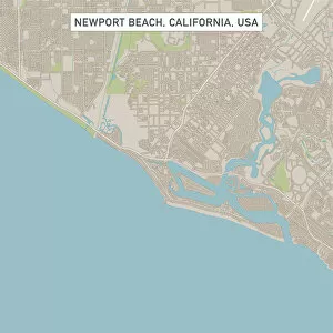
Newport Beach California US City Street MapVector Illustration of a City Street Map of Newport Beach, California, USA. Scale 1:60, 000. All source data is in the public domain. U.S
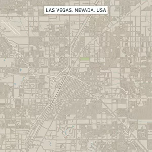
Las Vegas Nevada US City Street MapVector Illustration of a City Street Map of Las Vegas, Nevada, USA. Scale 1:60, 000. All source data is in the public domain. U.S
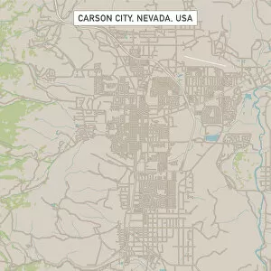
Carson City Nevada US City Street MapVector Illustration of a City Street Map of Carson City, Nevada, USA. Scale 1:60, 000. All source data is in the public domain. U.S
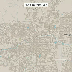
Reno Nevada US City Street MapVector Illustration of a City Street Map of Reno, Nevada, USA. Scale 1:60, 000. All source data is in the public domain. U.S