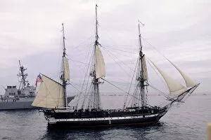
USS Constitution, Old Ironsides, Boston, Massachusetts
battleship, boat, boston, coast, day, historic, marine transportation, massachusetts, massachusetts. atlantic ocean, mast, military, nautical, navy, new england, north america, ocean, old
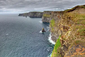
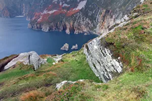
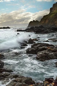
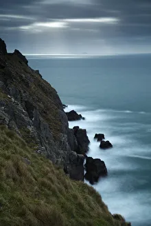
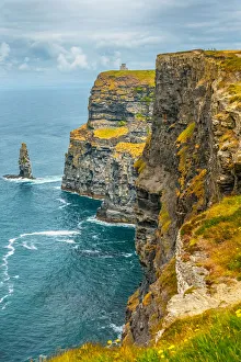
Cliffs of Moher in Ireland
cliffs of moher, landscape - scenery, republic of ireland, beach, cliff, irish culture, coastline, sea, nature, coastal feature, scenics - nature, the burren, majestic, atlantic ocean
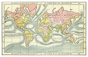
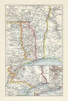
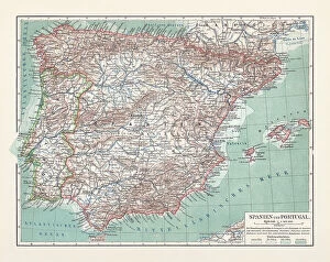
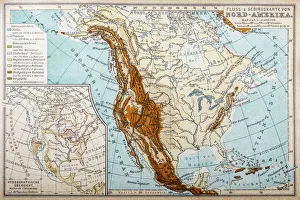
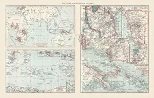
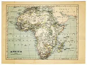
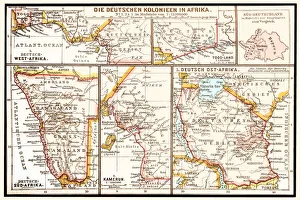
map of africa 1882
Part Of, Grunge, Burnt, Rusty, Rust, Torn, Retro Revival, Old-fashioned, Africa, Sepia Toned, Map, Cartography, Physical Geography, Direction, Sea, Atlantic Ocean, Paper, Textured Effect