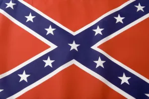
Southern States Flag
Battle, Flag, Identity, Pride, Cross Shape, Blue, Red, White, Identity, H, American Civil War (1860 1865), 72084603
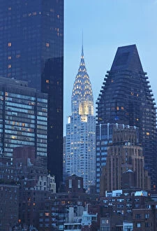
USA, New York State, New York City, Manhattan, Skyscrapers and Chrysler Building at dusk
architecture, art deco, blue, building exterior, chrysler building, d, Art Deco, Chrysler Building, 107700417