mail_outline sales@mediastorehouse.com
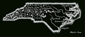
Antique North Carolina
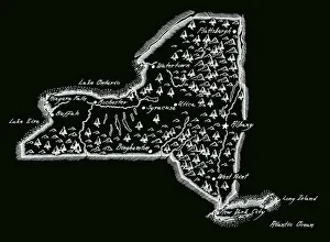
Antique New York StateNew York State Map, - Antique style. Includes mountains and water bodies. High detail - vector illustration
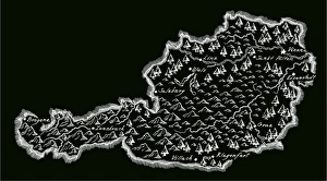
Antique AustriaAustria Map, - Antique style. Includes mountains and water bodies. High detail - vector illustration
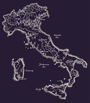
Antique ItalyItaly Map, - Antique style. Includes mountains and water bodies. High detail - vector illustration
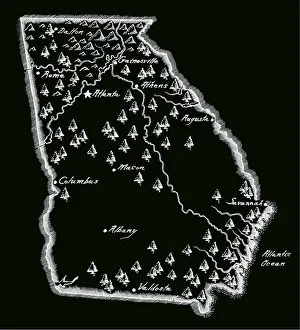
Antique Georgia MapGeorgia Map, - Antique style. Includes mountains and water bodies. High detail - vector illustration
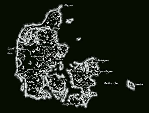
Antique Denmark MapDenmark Map, - Antique style. Includes mountains and water bodies. High detail - vector illustration
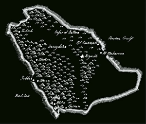
Antique Saudi ArabiaSaudi Arabia Map, - Antique style. Includes mountains and water bodies. High detail - vector illustration
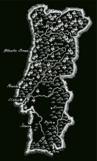
Antique PortugalPortugal Map, - Antique style. Includes mountains and water bodies. High detail - vector illustration
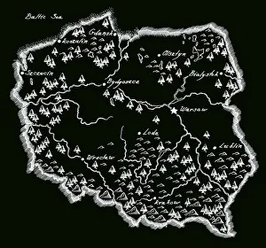
Antique PolandPoland Map, - Antique style. Includes mountains and water bodies. High detail - vector illustration
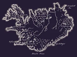
Antique Iceland MapIceland Map, - Antique style. Includes mountains and water bodies. High detail - vector illustration
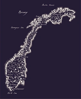
Antique NorwayNorway Map, - Antique style. Includes mountains and water bodies. High detail - vector illustration
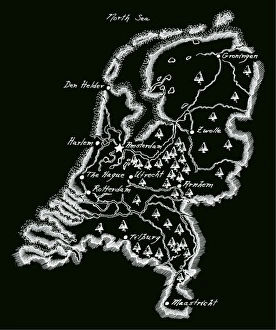
Antique NetherlandsNetherlands Map, - Antique style. Includes mountains and water bodies. High detail - vector illustration
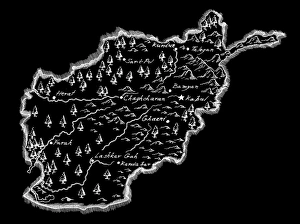
Antique AfghanistanAfghanistan Map, - Antique style. Includes mountains and water bodies. High detail - vector illustration
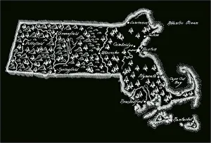
Antique Massachusetts
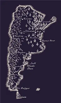
Antique ArgentinaArgentina Map, - Antique style. Includes mountains and water bodies. High detail - vector illustration
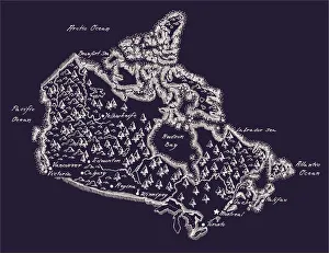
Antique Canada MapCanada Map, - Antique style. Includes mountains and water bodies. High detail. - vector illustration
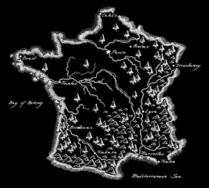
Antique France MapFrance Map, - Antique style. Includes mountains and water bodies. High detail - vector illustration
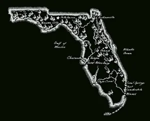
Antique Florida MapFlorida Map, - Antique style. Includes mountains and water bodies. High detail - vector illustration
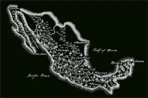
Antique MexicoMexico Map, - Antique style. Includes mountains and water bodies. High detail - vector illustration
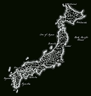
Antique JapanJapan Map, - Antique style. Includes mountains and water bodies. High detail - vector illustration
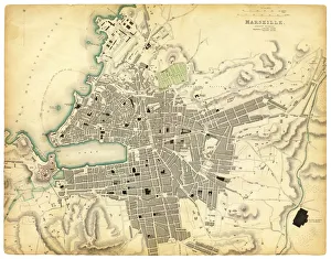
Map of Marseille 1840Map of Marseille - France 1840
The threshold of Purgatory engravingThe threshold of purgatory engraving by Gustave Dore
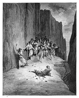
The martyrdom of St. Stephen engraving engraving by Gustave Dore
Dante and Virgil engravingDante and Virgil in the Happy Valley engraving by Gustave Dore
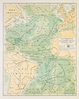
Map of deep Atlantic ocean 1895Different deep zones of the Atlantic ocean Chromolithograph
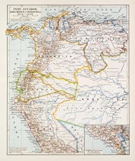
Map of Peru Ecuador Venezuela 1896Map of Peru Ecuador Venezuela
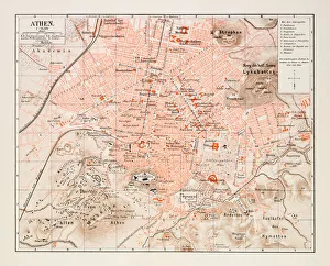
Map of Athens 1895Map of Athens, Greece
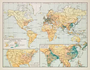
Map of earth population 1895Map of earth population
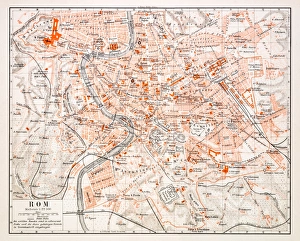
Map of Rome 1896Map of Rome, Italy
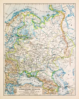
Map of European Russia 1896Map of European Russia
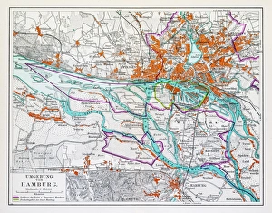
Map of Hamburg 1895Map of Hamburg, Germany
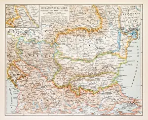
Map of Rumania Bulgaria 1896Map of Rumania, Bulgaria, Serbia, Montenegro
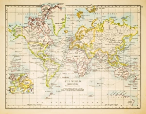
Map of the world 1897Map of the world in Mercator projection
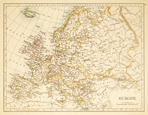
Map of Europe 1897Map of Europe
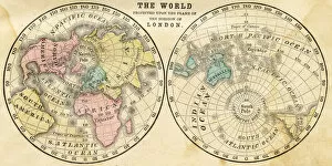
Map of the world horizontal projection 1856Colton and Fitchs Modern School Geography by George W. Fitch - New York 1856
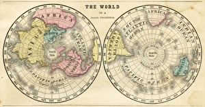
Polar projection of the world map 1856Colton and Fitchs Modern School Geography by George W. Fitch - New York 1856
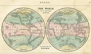
Map of the world in zones 1856Colton and Fitchs Modern School Geography by George W. Fitch - New York 1856
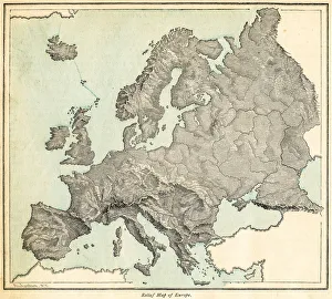
Europe relief map 1875The Independent Course Comprehensive Geography by James Monteith, A.S. Barnes & Co, New York & Chicago 1875
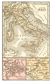
Ancient Italy map 1875The Independent Course Comprehensive Geography by James Monteith, A.S. Barnes & Co, New York & Chicago 1875
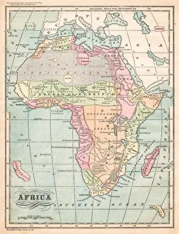
Africa map 1875The Independent Course Comprehensive Geography by James Monteith, A.S. Barnes & Co, New York & Chicago 1875
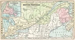
British provinces Canada map 1875The Independent Course Comprehensive Geography by James Monteith, A.S. Barnes & Co, New York & Chicago 1875
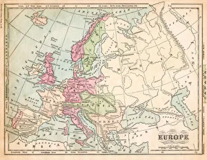
Europe map 1875The Independent Course Comprehensive Geography by James Monteith, A.S. Barnes & Co, New York & Chicago 1875
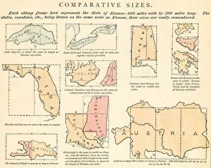
Comparative sizes map 1875The Independent Course Comprehensive Geography by James Monteith, A.S. Barnes & Co, New York & Chicago 1875
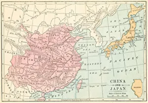
China and Japan map 1875The Independent Course Comprehensive Geography by James Monteith, A.S. Barnes & Co, New York & Chicago 1875
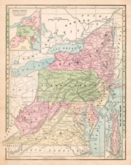
USA middle states map 1875The Independent Course Comprehensive Geography by James Monteith, A.S. Barnes & Co, New York & Chicago 1875
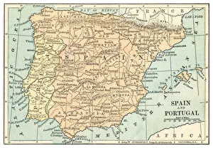
Spain and Portugal map 1875The Independent Course Comprehensive Geography by James Monteith, A.S. Barnes & Co, New York & Chicago 1875
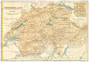
Switzerland map 1875The Independent Course Comprehensive Geography by James Monteith, A.S. Barnes & Co, New York & Chicago 1875
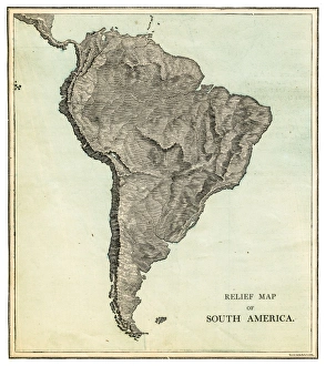
South America relief map 1875The Independent Course Comprehensive Geography by James Monteith, A.S. Barnes & Co, New York & Chicago 1875