mail_outline sales@mediastorehouse.com
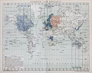
Local time world mapAntique illustration of a local time world map
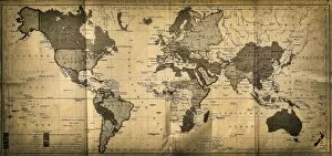
The World mapAntique illustration of a map of the World
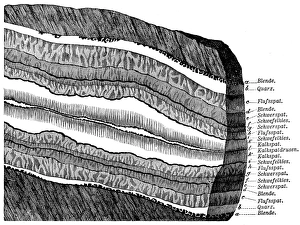
Section of a terrainSection of Freiberg with a symmetrical lay - out structure
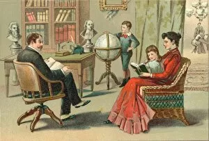
A Family Reading TogetherA woman reads to a girl while a man sits nearby with an open book on his lap and a boy spins a globe in the background, mid 1800s. (Kean Collection/Getty Images)
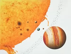
Surface of the sun with an arch of fire, next to the planets Jupiter, Mars, Earth, Venus, Mercury and an Asteroid belt
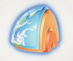
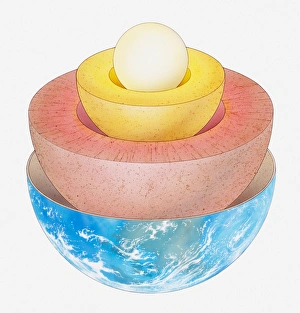
Cross-section diagram of quarter of the earths sphere illustrating subterranean layers of matter, side view
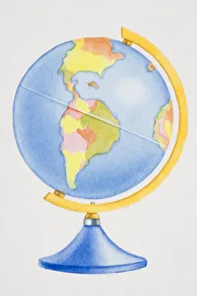
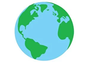
Colourful globe, side view
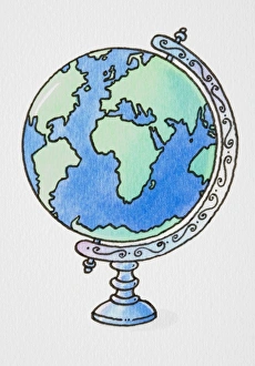
Globe on ornate axis
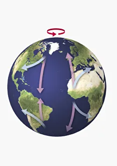
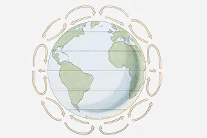
World globe with directional arrows showing trade wind patterns
Digital illustration of world glowing showing North and South America, Greenland, and parts of Europe and Africa
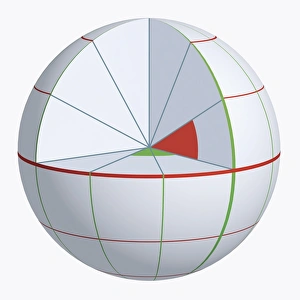
Illustration of coordinate system on cross-section globe
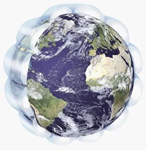
Illustration of the Earth with surrounding troposphere
Illustration of the Earth with arrows indicating air movements towards and away from the equator
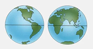
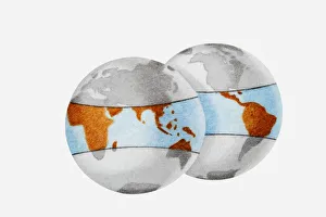
Two Illustrations of planet Earth showing latitude
Sequence of llustrations showing how the Earth has changed from Pangaea, the crust moving with continents breaking apart, and how the world looks today
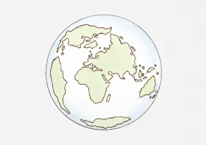
Illustration of continent distribution c. 65 mya, Cenozoic era
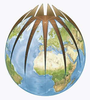
Digital illustration of World globe divided from top
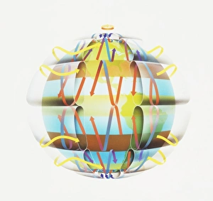
Illustration showing prevailing winds, Hadley cells and the Coriolis effect
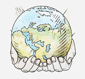
Illustration of hands holding globe
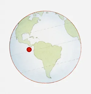
Illustration of globe showing position of Galapagos Islands highlighted in red
Illustration of globes outlining the tropical regions including Africa, South America and South East Asia
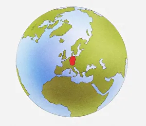
Illustration of globe showing Germany in red
Cartoon of smiling sun catching sea as it flows from globe of the word
Illustration of global wind formation through rotation and deflection (Coriolis effect)
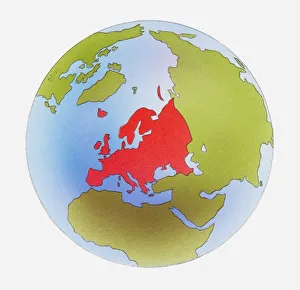
Illustration of world map with Europe highlighted in red
Illustration of Hadley Cells over Europe and Africa on world globe
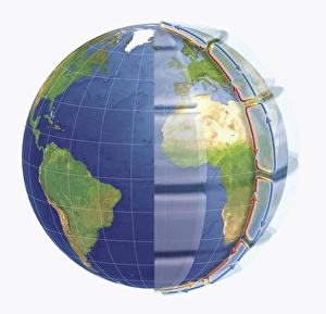
Illustration of the Earths layers
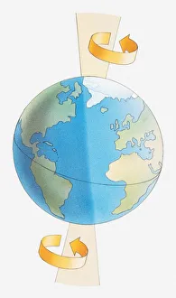
Illustration of the Earth spinning around its axis
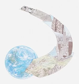
Illustration of minerals and rocks, used for constructing buildings, a landscape of mountains and a city, all forming part of the Earths topography
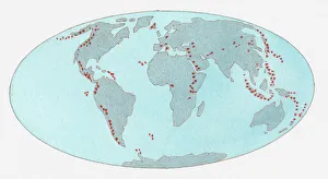
Illustration of volcanic zones dotted across the globe
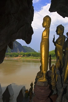
Pak Ou Caves in Laos
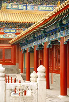
inside the forbidden city, Beijing Chinainside the forbidden city, Beijing china
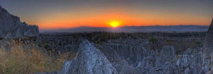
shilin stone forest located in yunnan province china
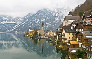
Hallstatt in the winter, Austria
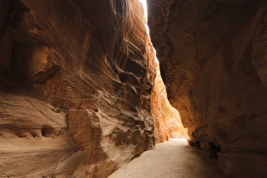
The Siq, a narrow stone gallery in Petra, JordanPetra - Nabataeans capital city, Jordan
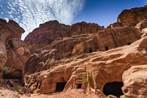
Tombs in Petra, JordanPetra, Jordan-- it is a symbol of Jordan, as well as Jordans most-visited tourist attraction. Petra has been a UNESCO World Heritage Site since 1985
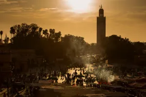
Jamaa el Fna (also Jemaa el-Fnaa, Djema el-Fna or Djemaa el-Fnaa) is a square and market place in Marrakeshs medina quarter (old city) with Koutubia in background. Marrakesh, Morocco, north Africa
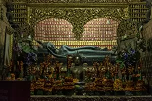
Buddha statue in Wat Xieng Thong, Buddhist temple in Luang Prabang World Heritage, Laos
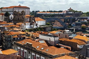
General view of Porto City, Oporto, Portugal
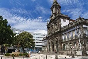
Igreja da Trindade. Porto (Oporto), PortugalOne of the churches (Igreja da Trindade) in the city of Oporto
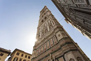
Facade of the Basilica di Santa Maria del Fiore (Basilica of Saint Mary of the Flower), the main church of Florence, Italy
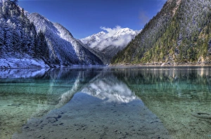
jiuzhaigou national park located in sichuan province china
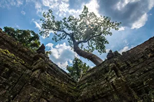
Ta Prohm temple, Siem Reap, CambodiaTa Prohm temple is the modern name of the temple at Angkor, Siem Reap Province, Cambodia, built in the Bayon style largely in the late 12th and early 13th centuries and originally called Rajavihara
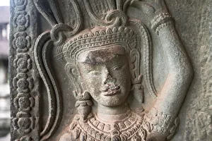
Apsara at the corner of Angkor Wat, Siem Reap, CambodiaAn Apsara is a female spirit of the clouds and waters in Hindu and Buddhist mythology
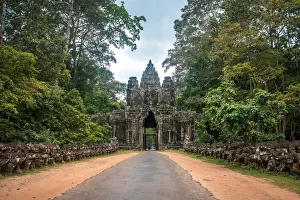
Gateway to Angkor Thom, Siem Reap, CambodiaAngkor Thom was established as the capital of Jayavarman VIIs empire, and was the centre of his massive building programme