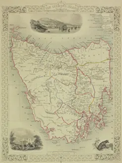
antique, archival, brasil, brasilia, brazil, cartography, cartouche, colored, decorative, distribution, districts, elegant, geography, historic, indigenous peoples, key, legend, location, map
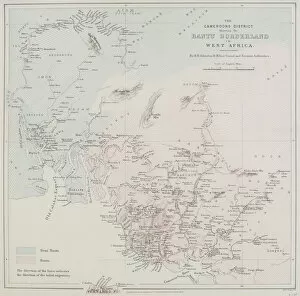
19th century, antique, archival, border, cameroon, cameroons district bantu borderland in west africa, cartography, coast, coastline, detail, distribution, document, geography, historical, key
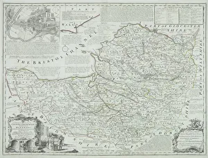
Antique county map of Somerset, England
nobody, map, antique, vintage, archival, document, historical, cartography, somerset, england, county, district, words, text, cartouches, title, geography, key, legend, scale, latitude, longitude
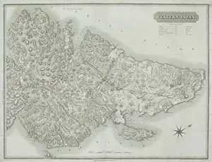
Antique map of the Western Isles off Scotland
antique, archival, border, cartography, coordinates, document, geography, historical, island, key, latitude, legend, longitude, map, nobody, orientation, outer hebrides, scale, scotland, uk
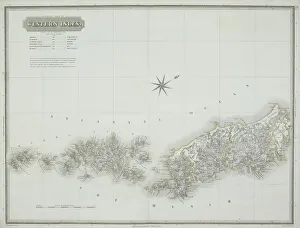
Antique map of the western isles
antique, archipelago, archival, azores, border, cartography, coordinates, document, geography, historical, islands, key, latitude, legend, longitude, map, nobody, orientation, scale, text, vintage
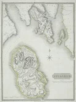
Antique map of Buteshire county in Scotland
antique, archival, border, buteshire, cartography, continent, coordinates, county, district, document, geography, historical, islands, key, legend, map, nobody, ocean, orientation, scale, scotland
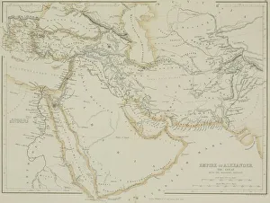
Antique map of the Empire of Alexander the Great
afghanistan, antique, arabia, arabian, azerbijan, black, border, cartography, caspian, coordinates, countries, document, empire of alexander the great, geography, historic, historical, iran, iraq