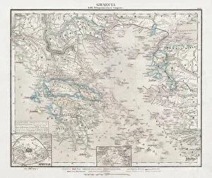
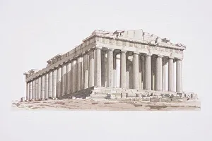
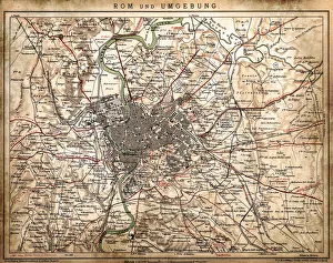
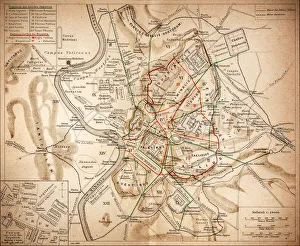
Greece, Athens, the Acropolis or Parthenon
Geographical Locations, Europe, Greece, Athens, Ancient Sites, The Acropolis, The Parthenon, Architecture, Athena Parthenos, Buildings, Capitals Cities, Gods, Heritage, Monuments, Mythology
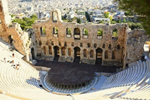
High angle view of an amphitheater, Theater Of Herodes Atticus, Athens, Greece
Acropolis, Amphitheater, Ancient, Arch, Athens, Bleachers, Building Exterior, Building Structure, City, City Location, Cityscape, Color Image, Day, Europe, Famous Place, Greece