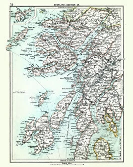
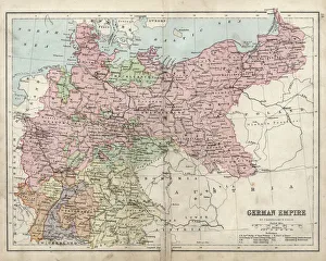
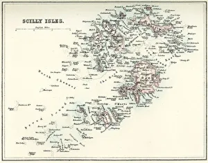
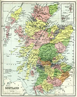
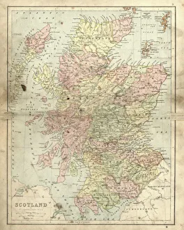
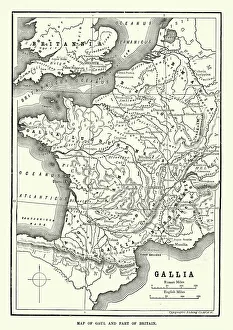
Antique map, Scotland, Jura, Mull, Argyll, Islay 19th Century
Vintage engraving of a Antique map, Scotland, Jura, Mull, Argyll, Islay 19th Century
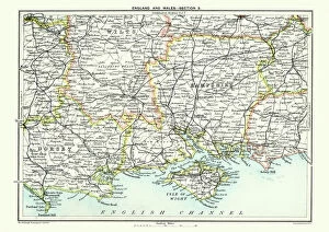
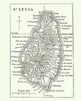
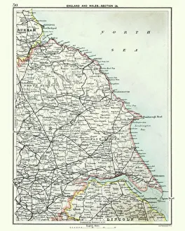
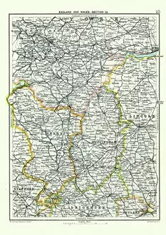
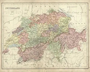
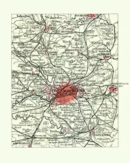
Antique map, West Yorkshire, Derby, Nottingham, Lincoln, 19th Century
Vintage engraving of a Antique map, West Yorkshire, Derby, Nottingham, Lincoln, Stafford, Leicester, Rutland, England. 19th Century