mail_outline sales@mediastorehouse.com
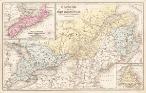
Map of Canada and New Brunswick 1867Mitchells Modern Atlas - Published by E.H. Buttler & Co - Philadelphia 1867
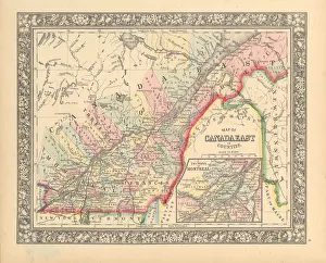
Victorian Map of Eastern Canada Circa 1850Engraved illustration of a Map of Eastern Canada in counties from Iconographic Encyclopedia of Science, Literature and Art, Published in 1851. Copyright has expired on this artwork. Digitally restored
Dominion of Canada map 1881Coltons Common School Geography 1881 New York Sheldon and Co
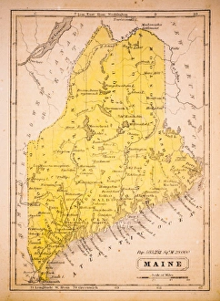
Maine 1852 Map
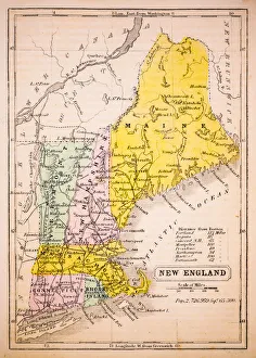
New England 1852 Map
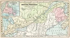
British provinces Canada map 1875The Independent Course Comprehensive Geography by James Monteith, A.S. Barnes & Co, New York & Chicago 1875
New BrunswickMinimalist retro poster of New Brunswick