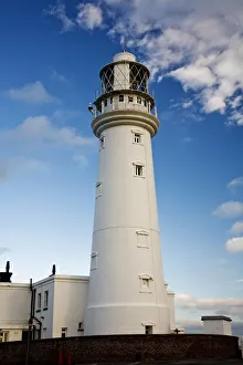
Lighthouse, Flamborough Head, England
Architectural, Architectural Exterior, Architectural Exteriors, Architecture, Attractions, Beacon, Beacons, Destinations, England, English, Eu, Europe, European, Exterior, Flamborough Head
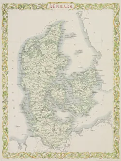
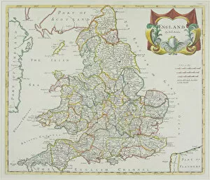
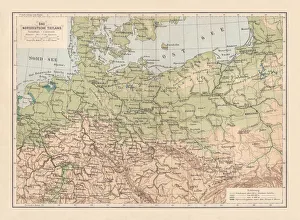
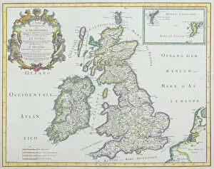
antique, archival, borders, cartography, country, country, crest, emblem, england
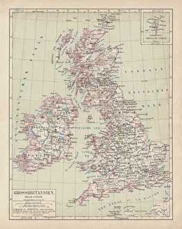
antique, archival, borders, cartography, country, crest, emblem, england, europe, frame, great britian, historic, map, nobody, north sea, scale, text, words, Antique Maps, 87632638
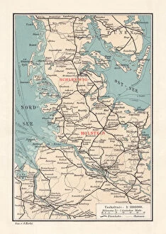
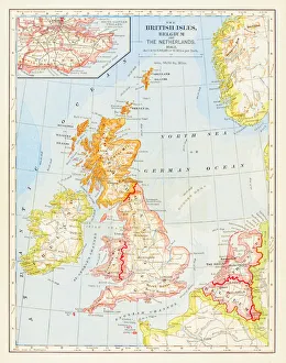
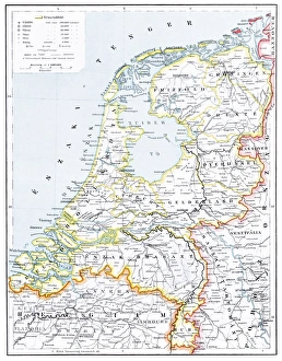
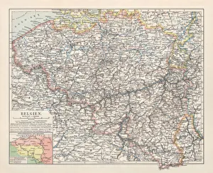
1697, antiquity, archival, cartography, england, europe, geographical, geography, great britain, historical, ireland, map, nobody, north ireland, north sea, old-fashioned, scotland, text, uk