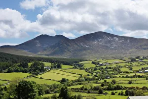
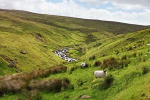
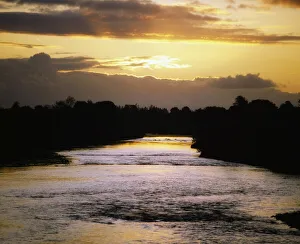
Co Limerick, Adare, River Maigue, Ireland
Dawn, Destination, Horizon, Ireland, Landscape & Scenics, Morning, Northern Ireland, Outdoors, Republic of Ireland, River, Scenics, Sightseeing, Sunrise, Tourism, Travel, Travel Destinations, adare
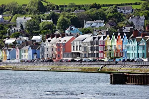
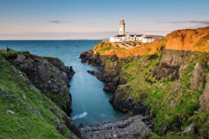
Derry City, St. Patricks Cathedral, Pennyburn, Ireland
Architecture, Attraction, Belief, Building Homes, Cathedral, Christianity, Church, Destination, Famous Place, Ireland, Northern Ireland, Outdoors, Religion, Republic of Ireland, Sightseeing, St
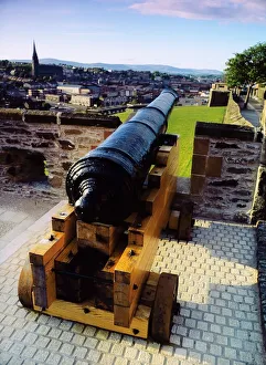
Cannon on a city wall, Derry City, Ireland
arms, attraction, attractions, cannon, cannons, cities, city, city wall, city walls, cityscape, cityscapes, co derry, co londonderry, co. derry, co
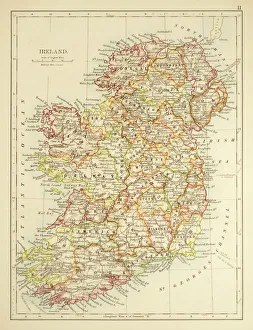
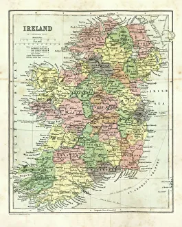
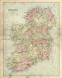
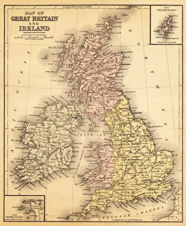
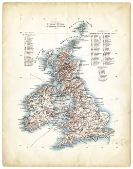
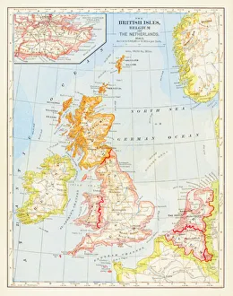
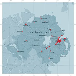
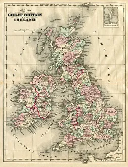
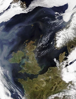
Cartography, Europe, Ireland, Land, Nobody, Northern Ireland, Ocean, Republic of Ireland
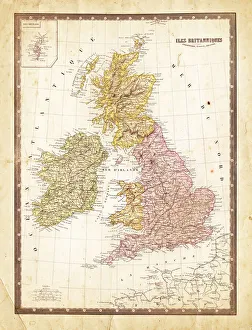
Cartography, Europe, Ireland, Land, Nobody, Northern Ireland, Ocean, Re, 78364147