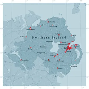
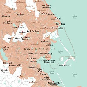
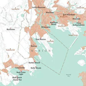
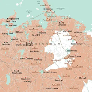
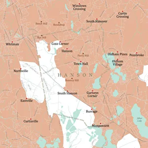
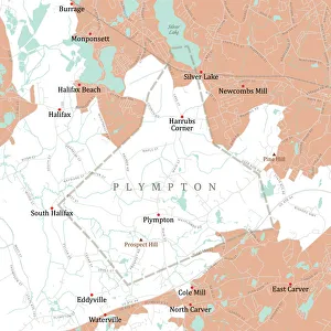
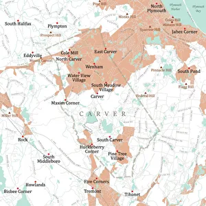
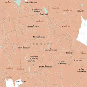
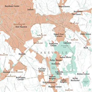
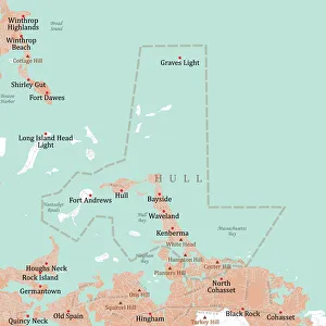
Antique map of the western isles
antique, archipelago, archival, azores, border, cartography, coordinates, document, geography, historical, islands, key, latitude, legend, longitude, map, nobody, orientation, scale, text, vintage
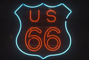
A neon sign that reads ?US 66?
sign, neon, neon sign, light, neon light, color photography, US, USA, United States, United States of America, North America, night, nightlife, historic, route 66, historic route 66, us 66
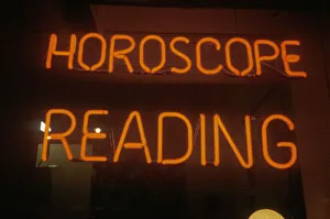
"Neon Horoscope Reading sign in Los Angeles, CA"
horoscope, astrology, reading, fortune, fortune teller, advertisement, advertising, neon, sign, light, signs, color photography, US, USA, United States, United States of America, communications
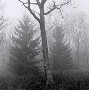
Tree with sign on its trunk
branches, concept, conservation, day, ecology, environment, fog, foggy, forest, grove, haze, hazy, nature, nobody, outdoor, rural, sale, sign, sold, text, tree, winter, Henri Silberman, 86068726