mail_outline sales@mediastorehouse.com
Choose a picture from our Images Dated 25th March 2009 Collection for your Wall Art and Photo Gifts
14 items
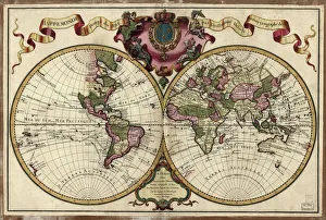
Map of the world, 1720(Original Caption) 18th century map of the world. Published in Paris in 1720, this French map shows the known world, including the new lands that had been discovered in the preceding centuries by
Raphael or raffaello Sanzioportrait of raffaelle engraved by J.Thomson
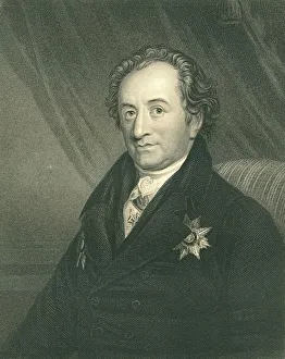
Johann Wolfgang Von Goethe, German writer, artist, and politician (XXXL)Portrait of Goethe engraving by Posselwhite from a picture by george Dawe (1855) Now in the public domain
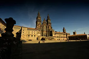
Santiago de Compostela, Galicia, SpainObradoiro faAzade view of the Cathedral of Santiago de Compostela, whose old town is a UNESCO World Heritage Site
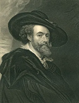
Peter Paul Rubens (XXXL)Portrait of Rubens engraved by j Posselwhite (1840)from the original picture by Rubens.Image in the public domain
Voltaire (XXXL)Portrait of Monsieur de Voltaire, engraved by Ja Mollisson (around 1850), from an original picture by largilhere.Image now in the public domain
Cardinal Richelieu First Minister (XXXL)Portrait of Cardinal of Richelieu, engraved by R Woodman around 1840.Image in the public domain
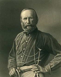
Giuseppe Garibaldi, Italian GeneralPortrait of Giueseppe Garibaldi engraved by W Holl (around 1880).Now in the public domain
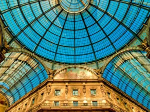
Galleria Vittorio Emanuele IITaking that classic wander through the Galleria, the very heart of Milan creates that wonderful sensation. Entering the Galleria, the corridor between Duomo and La Scala Theatre
Inside the Angkor WatDeep inside the Angkor is a beautiful sight of the temple and people can witness the craftsman ship for the era when this was built
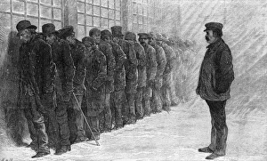
Panic Of 1873Unemployed men queue for a meal at the New York City poorhouse during the Panic of 1873. (Photo by Frederic Lewis/Archive Photos/Getty Images)
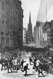
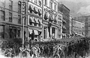
Panic On Wall StreetCrowds on Wall Street, New York City, during the Panic of 1884, 14th May 1884. Trinity Church is visible at the end of the road, and Federal Hall is on the right
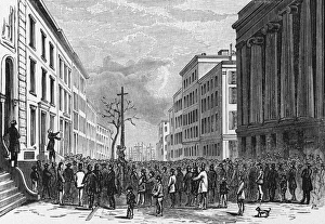
Panic Of 1857A crowd gathers in Wall Street, New York City, during the Panic of 1857. (Photo by Kean Collection/Archive Photos/Getty Images)
Financial Panic in New York 1873A panicked crowd on Broad Street, New York City, after the closing of the stock exchange doors during the Panic of 1873, 20th September 1873. The stock exchange stayed closed for ten days