Home > The Magical World of Illustration > Nastasic Images & Illustrations
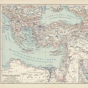
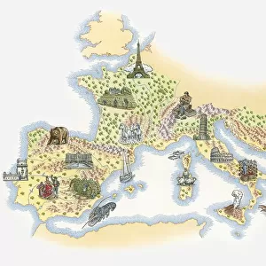
Historical map of the Oriental part of world

![]()
Wall Art and Photo Gifts from Fine Art Storehouse
Historical map of the Oriental part of world
Antique illustration of a Historical map of the Oriental part of world
Nastasic
Media ID 13590359
© This content is subject to copyright
Albania Alexandria Egypt Arabia Armenia Balkans Black Sea Bosnia And Hercegovina Bulgaria Bulgarian Culture Contour Drawing Country Geographic Area Crete Cyprus Damascus Egypt Greece Greek Culture Ionian Sea Iran Istanbul Mediterranean Sea Middle East Nile River Ottoman Empire Red Sea Romania Serbia Topography Turkey Middle East Turkish Culture
FEATURES IN THESE COLLECTIONS
> The Magical World of Illustration
> Nastasic Images & Illustrations
> Map
> Historical Maps
> Map
MADE IN THE UK
Safe Shipping with 30 Day Money Back Guarantee
FREE PERSONALISATION*
We are proud to offer a range of customisation features including Personalised Captions, Color Filters and Picture Zoom Tools
SECURE PAYMENTS
We happily accept a wide range of payment options so you can pay for the things you need in the way that is most convenient for you
* Options may vary by product and licensing agreement. Zoomed Pictures can be adjusted in the Basket.