Home > The Magical World of Illustration > Nastasic Images & Illustrations
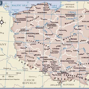
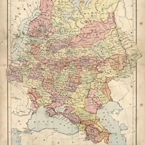
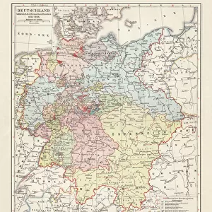
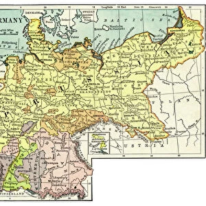
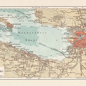
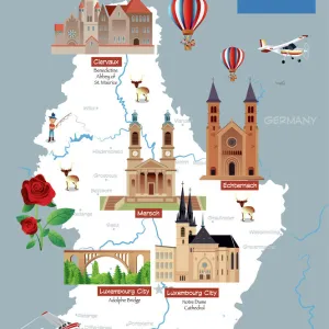
Prussia historical map

![]()
Wall Art and Photo Gifts from Fine Art Storehouse
Prussia historical map
Illustration of a Prussia historical development map
Nastasic
Media ID 13592449
© Nikola Nastasic
Aging Process Antiquities Art Product Atlas Baltic Countries Brandenburg Chart Computer Graphic Computer Graphics Denmark European Culture Geographical Locations Illustrated Kingdom Monoprint North Painting Paintings Pencil Drawing Pictorial Picture Poland Printout Prussia Revival State Territorial Territorial Animal Topography World Map
FEATURES IN THESE COLLECTIONS
> The Magical World of Illustration
> Nastasic Images & Illustrations
> Map
> Denmark Maps
> Map
> Historical Maps
> Map
MADE IN THE UK
Safe Shipping with 30 Day Money Back Guarantee
FREE PERSONALISATION*
We are proud to offer a range of customisation features including Personalised Captions, Color Filters and Picture Zoom Tools
SECURE PAYMENTS
We happily accept a wide range of payment options so you can pay for the things you need in the way that is most convenient for you
* Options may vary by product and licensing agreement. Zoomed Pictures can be adjusted in the Basket.