Home > The Magical World of Illustration > Palmer Illustrated Collection
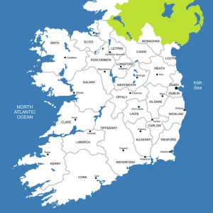
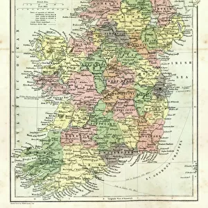
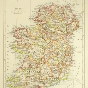
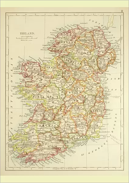
Poster Print : Map of Ireland 1897

![]()
Poster Prints from Fine Art Storehouse
Map of Ireland 1897
Map of Ireland
THEPALMER
Media ID 13613567
© Roberto A Sanchez
62990 Atlas Earth Globe Navigational Equipment Irish Culture Northern Ireland Paper Republic Of Ireland World Map
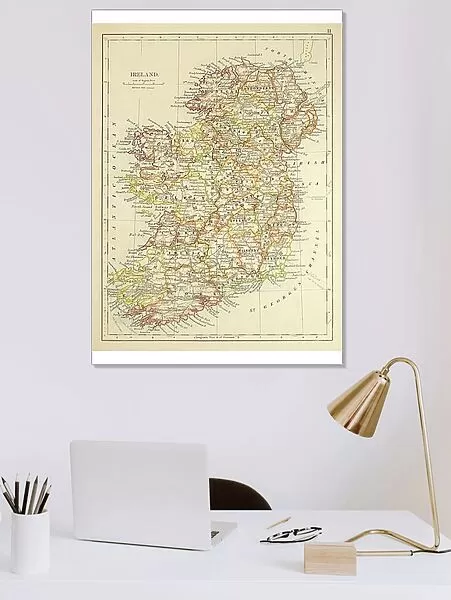
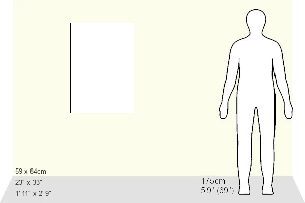
A1 (84.1 x 59.4cm) Poster Print
A1 Poster (84.1 x 59.4cm, 33.1" x 23.4" inches) printed on 170gsm Satin Poster Paper. Securely packaged, rolled and inserted into a strong mailing tube and shipped tracked. Poster Prints are of comparable archival quality to our Photographic prints, they are simply printed on thinner Poster Paper. Whilst we only use Photographic Prints in our frames, you can frame Poster Prints if they are carefully supported to prevent sagging over time.
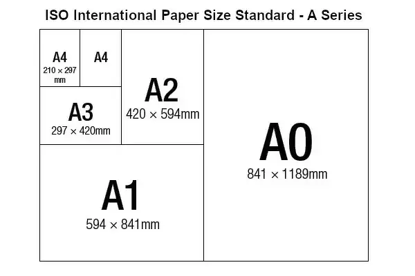
Poster prints are budget friendly enlarged prints in standard poster paper sizes (A0, A1, A2, A3 etc). Whilst poster paper is sometimes thinner and less durable than our other paper types, they are still ok for framing and should last many years. Our Archival Quality Photo Prints and Fine Art Paper Prints are printed on higher quality paper and the choice of which largely depends on your budget.
Estimated Image Size (if not cropped) is 59.4cm x 77.5cm (23.4" x 30.5")
Estimated Product Size is 59.4cm x 84.1cm (23.4" x 33.1")
These are individually made so all sizes are approximate
Artwork printed orientated as per the preview above, with portrait (vertical) orientation to match the source image.
FEATURES IN THESE COLLECTIONS
> The Magical World of Illustration
> Palmer Illustrated Collection
> Map
> Historical Maps
> Map
MADE IN THE UK
Safe Shipping with 30 Day Money Back Guarantee
FREE PERSONALISATION*
We are proud to offer a range of customisation features including Personalised Captions, Color Filters and Picture Zoom Tools
SECURE PAYMENTS
We happily accept a wide range of payment options so you can pay for the things you need in the way that is most convenient for you
* Options may vary by product and licensing agreement. Zoomed Pictures can be adjusted in the Cart.