Home > Map > Historical Maps
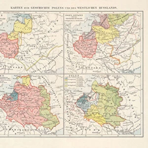
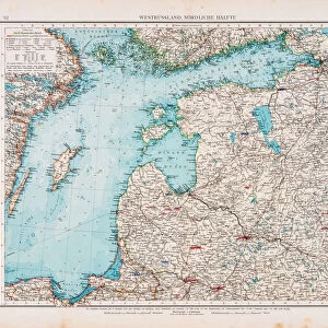
Map of Baltic states, lithograph, published in 1877

![]()
Wall Art and Photo Gifts from Fine Art Storehouse
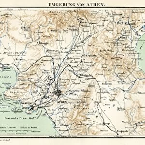
Map of Baltic states, lithograph, published in 1877
Historic map of Baltic states: Lithuania, Estonia, Latvia. Lithograph, published in 1877
Media ID 13666751
© ZU_09
78279 Baltic Countries Baltic Sea Contour Drawing Country Geographic Area Estonia European Culture Finland Image Date Island Land Latvia Lithuania Riga Topographic Map Topography
FEATURES IN THESE COLLECTIONS
> Map
> Historical Maps
> Map
MADE IN THE UK
Safe Shipping with 30 Day Money Back Guarantee
FREE PERSONALISATION*
We are proud to offer a range of customisation features including Personalised Captions, Color Filters and Picture Zoom Tools
SECURE PAYMENTS
We happily accept a wide range of payment options so you can pay for the things you need in the way that is most convenient for you
* Options may vary by product and licensing agreement. Zoomed Pictures can be adjusted in the Basket.