Home > Map > Italian Maps
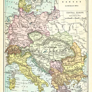
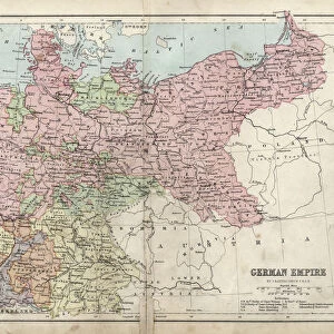
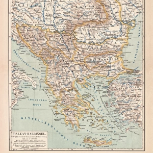
Map of central Europe 1889

extension
Cards
crop_landscape
Home Decor
Mounted Prints
Canvas Prints
Fine Art Prints
Metal Prints
![]()
Wall Art and Photo Gifts from Fine Art Storehouse
Map of central Europe 1889
Indiana Educational Series The Complete Geography - Indianapolis 1889
THEPALMER
Media ID 14756322
© This content is subject to copyright
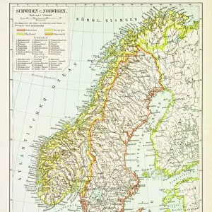
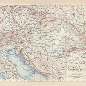
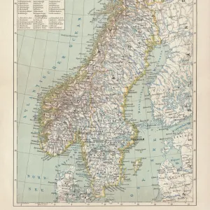
Austria Denmark Norway Portugal Russia Sweden
FEATURES IN THESE COLLECTIONS
> Map
> Denmark Maps
> Map
> Historical Maps
> Map
> Italian Maps
> Map
MADE IN THE UK
Safe Shipping with 30 Day Money Back Guarantee
FREE PERSONALISATION*
We are proud to offer a range of customisation features including Personalised Captions, Color Filters and Picture Zoom Tools
SECURE PAYMENTS
We happily accept a wide range of payment options so you can pay for the things you need in the way that is most convenient for you
* Options may vary by product and licensing agreement. Zoomed Pictures can be adjusted in the Basket.
Beautiful Photo Prints and Gifts
Professionally Printed
Photo Prints are in stock
Professional quality finish
Made with high-grade materials
Carefully packed to aid safe arrival
Related Images


+
Shipping
+
Choices
+