Home > Map > Historical Maps
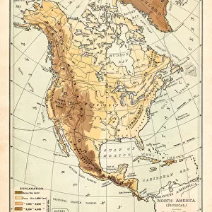
Pestilence in Europe, mid-14th century, lithograph, published in 1880

![]()
Wall Art and Photo Gifts from Fine Art Storehouse
Pestilence in Europe, mid-14th century, lithograph, published in 1880
Ancient map of the area of pestilence in Europe, Western Asia, and North Africa in the years 1346 - 1351. Lithograph, published in 1880
Media ID 13666837
© ZU_09
91555 Circa 14th Century Coastal Feature Contour Drawing Dead Death Epidemic Ethnocultural History European Culture Illness Island Medical Condition Medieval Mediterranean Countries Mediterranean Sea Middle Ages Topographic Map Topography Unpleasant Smell
FEATURES IN THESE COLLECTIONS
> Map
> Historical Maps
> Map
MADE IN THE UK
Safe Shipping with 30 Day Money Back Guarantee
FREE PERSONALISATION*
We are proud to offer a range of customisation features including Personalised Captions, Color Filters and Picture Zoom Tools
SECURE PAYMENTS
We happily accept a wide range of payment options so you can pay for the things you need in the way that is most convenient for you
* Options may vary by product and licensing agreement. Zoomed Pictures can be adjusted in the Basket.