
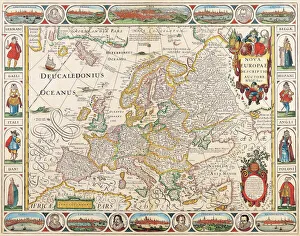
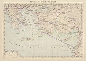
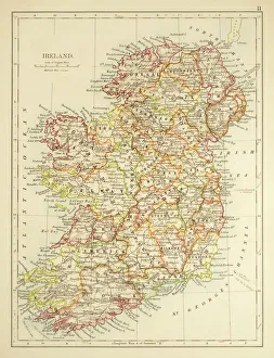
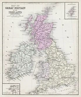
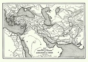
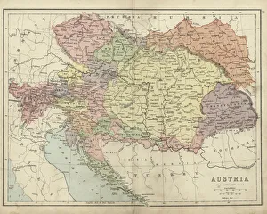
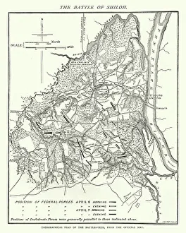
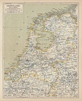
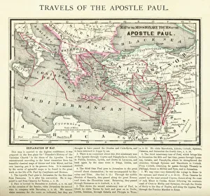
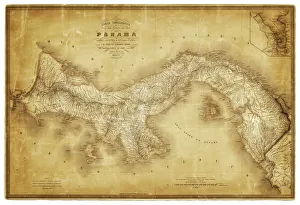
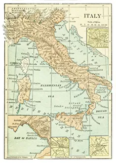
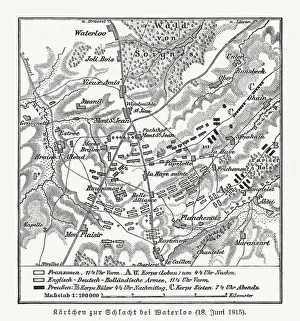
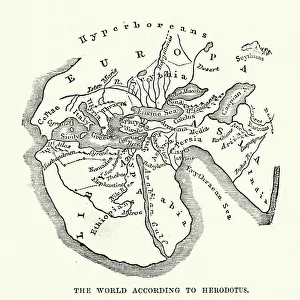
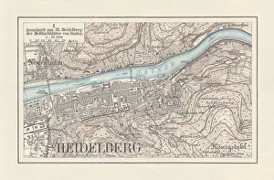
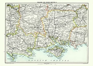
Journey Through Time: Discover Extraordinary Historical Maps and Plans
Choose a picture from our Journey Through Time: Discover Extraordinary Historical Maps and Plans Collection for your Wall Art and Photo Gifts
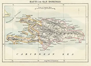
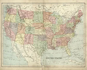
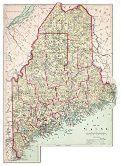
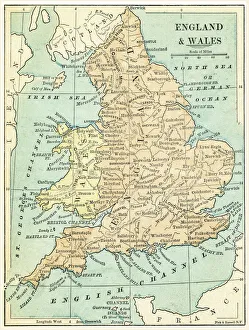
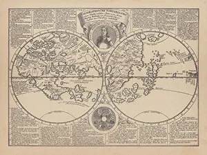
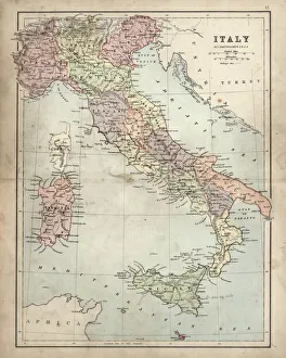
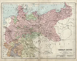
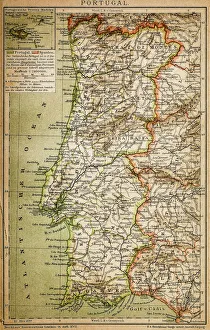
Step into a captivating world of cartographic wonders with our collection of historical maps and plans. These exquisite prints transport you through time, unveiling the intricate details of the past. Delve into the rich tapestry of human civilisation as you explore maps that have guided explorers, navigators, and conquerors across uncharted territories. From ancient civilisations to the Age of Exploration, these maps provide a glimpse into the evolving perceptions of our world.
3,669 items
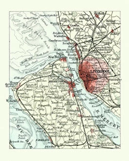
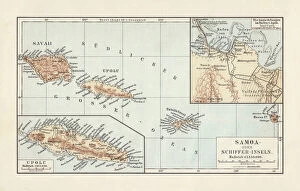
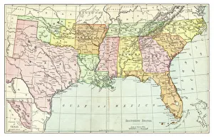
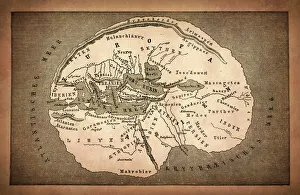
Whether you are a history buff, a curious traveller, or an art enthusiast, this collection offers a captivating journey through the ages, allowing you to witness the ever-changing landscapes of our shared human history. Explore our extraordinary collection of historical maps and plans, guiding you through captivating journeys across time. Uncover the artistry and precision of these historical masterpieces, inviting you to witness the rich tapestry of human civilization. Embark on a visual adventure with Fine Art Storehouse, where each map tells a compelling story.