Home > Map > Reference Maps
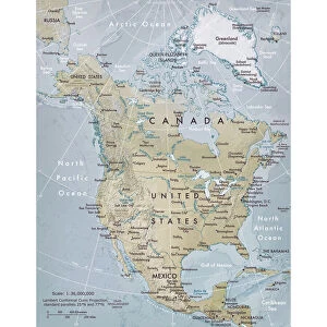
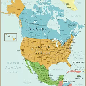
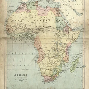
Political map of North America

![]()
Wall Art and Photo Gifts from Fine Art Storehouse
Political map of North America
Vector illustration of the political map of North America.
Reference map was created by the US Central Intelligence Agency and is available as a public domain map at the University of Texas Libraries website.
https:/cia.gov/library/publications/resources/the-world-factbook/graphics/ref_maps/political/pdf/north_america.pdf
Media ID 15192878
MADE IN THE UK
Safe Shipping with 30 Day Money Back Guarantee
FREE PERSONALISATION*
We are proud to offer a range of customisation features including Personalised Captions, Color Filters and Picture Zoom Tools
SECURE PAYMENTS
We happily accept a wide range of payment options so you can pay for the things you need in the way that is most convenient for you
* Options may vary by product and licensing agreement. Zoomed Pictures can be adjusted in the Basket.