Home > Map > USA Maps
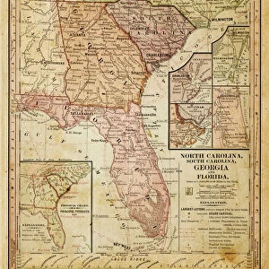
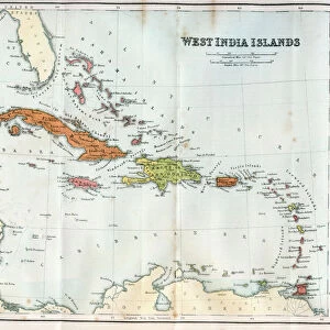
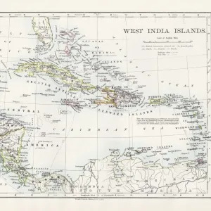
Cuba lesser antilles map 1897

![]()
Wall Art and Photo Gifts from Fine Art Storehouse
Cuba lesser antilles map 1897
The World-Wide Atlas of Modern Geography, Political and Physical W. & A.K. Johnston - London 1897
THEPALMER
Media ID 14757114
© Roberto A Sanchez
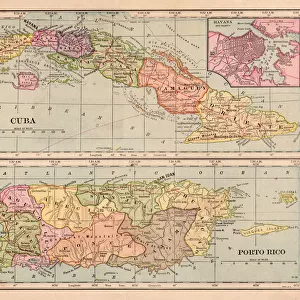
Antilles Atlas Bahamas Barbados Bermuda Caribbean Sea Country Geographic Area Cuba Earth Florida Usa Haiti Island Lesser Antilles Paper Puerto Rico Textured Effect Trinidad And Tobago West Indies World Map
FEATURES IN THESE COLLECTIONS
> Map
> Historical Maps
> Map
MADE IN THE UK
Safe Shipping with 30 Day Money Back Guarantee
FREE PERSONALISATION*
We are proud to offer a range of customisation features including Personalised Captions, Color Filters and Picture Zoom Tools
SECURE PAYMENTS
We happily accept a wide range of payment options so you can pay for the things you need in the way that is most convenient for you
* Options may vary by product and licensing agreement. Zoomed Pictures can be adjusted in the Basket.