
Home > History > Battles & Wars > Historcal Battle Maps and Plans

Historcal Battle Maps and Plans Collection

Warfare Unveiled: Exploring the Striking Battle Maps and Plans of History

Choose a picture from our Historcal Battle Maps and Plans Collection for your Wall Art and Photo Gifts

Welcome to our captivating collection of historical battle maps and plans. These remarkable prints provide a fascinating glimpse into the strategic landscapes of significant conflicts throughout history. Each map and plan represents a meticulous record of military campaigns, illustrating the intricate maneuvers, fortifications, and troop deployments that shaped the outcomes of these momentous battles.

213 items

Background imageHistorcal Battle Maps and Plans Collection: American Civil War, Map of Battle of Shiloh

American Civil War, Map of Battle of Shiloh
Vintage engraving of the Battle of Shiloh also known as the Battle of Pittsburgh Landing, was a major battle in the Western Theater of the American Civil War, fought April 6a'7, 1862

Background imageHistorcal Battle Maps and Plans Collection: Battle Of Waterloo

Battle Of Waterloo
A plan of the Battle of Waterloo in present-day Belgium during the Napoleonic Wars, 18th June 1815. Here an Anglo-Allied army under the command of the Duke of Wellington defeated the Imperial French

Background imageHistorcal Battle Maps and Plans Collection: Battle Of Waterloo

Battle Of Waterloo
A plan of the Battle of Waterloo in present-day Belgium during the Napoleonic Wars, 18th June 1815. Here an Anglo-Allied army under the command of the Duke of Wellington defeated the Imperial French

Background imageHistorcal Battle Maps and Plans Collection: Map of Bonnie Prince Charlies Wanderings

Map of Bonnie Prince Charlies Wanderings
Vintage caricature of Map of Bonnie Prince Charlies Wanderings after his defeat at the Battle of Culloden in 1746

Background imageHistorcal Battle Maps and Plans Collection: Map of the Battle of Hampton Roads

Map of the Battle of Hampton Roads
Vintage engraving of a Map of the Battle of Hampton Roads, often referred to as either the Battle of the Monitor and Merrimack (or Virginia) or the Battle of Ironclads

Background imageHistorcal Battle Maps and Plans Collection: Battle of Gettysburg Map, July 3, 1863 Civil War Engraving

Battle of Gettysburg Map, July 3, 1863 Civil War Engraving
Engraving of the Map of the Battle of Gettysburgs, Pennsylvania, July 3, 1863 Civil War Engraving from Famous Leaders and Battle Scenes of the Civil War, Published in 1864

Background imageHistorcal Battle Maps and Plans Collection: Map of Pamlico and Albemarle Sounds

Map of Pamlico and Albemarle Sounds
Vintage engraving from 1863 of a map of Map of Pamlico and Albemarle Sounds at the time of the American Civil War

Background imageHistorcal Battle Maps and Plans Collection: Map of the Siege of Quebec, Canada 1759

Map of the Siege of Quebec, Canada 1759
Vintage engraving of a Map of the Siege of Quebec, Canada 1759. The Battle of the Plains of Abraham, also known as the Battle of Quebec was a pivotal battle in the Seven Years War

Background imageHistorcal Battle Maps and Plans Collection: Map of the Battle of Valcour Island, 1776

Map of the Battle of Valcour Island, 1776
Vintage engraving of Map of the Battle of Valcour Island, 1776. The naval Battle of Valcour Island, also known as the Battle of Valcour Bay, took place on October 11, 1776, on Lake Champlain

Background imageHistorcal Battle Maps and Plans Collection: Map of Battle of Sedan, it was fought during the Franco-Prussian War from 1 to 2 September 1870

Map of Battle of Sedan, it was fought during the Franco-Prussian War from 1 to 2 September 1870
Illustration of a Battle of Sedan was fought during the Franco-Prussian War from 1 to 2 September 1870. It resulted in the capture of Emperor Napoleon III and large numbers of his troops

Background imageHistorcal Battle Maps and Plans Collection: Map of Gettysburg Battles

Map of Gettysburg Battles
A map of the battles of Gettysburg, 1st to the 3rd July 1863, from an actual survey by an engineer and officer on General Doubledays staff circa 1863. (Photo by Archive Photos/Getty Images)

Background imageHistorcal Battle Maps and Plans Collection: Plan of the battle at Borodino

Plan of the battle at Borodino
Illustration of a Plan of the battle at Borodino

Background imageHistorcal Battle Maps and Plans Collection: Map of the Battle of Fort Donelson, American Civil War

Map of the Battle of Fort Donelson, American Civil War
Vintage engraving of a Map of the Battle of Fort Donelson, during the American Civil War

Background imageHistorcal Battle Maps and Plans Collection: Maps of Battle of Leipzig, Napolionic wars, 1813, published 1897

Maps of Battle of Leipzig, Napolionic wars, 1813, published 1897
Maps of the Battle of the Nations near Leipzig from 16 to 19 October 1813, Saxony, Germany. Wood engravings, published in 1897

Background imageHistorcal Battle Maps and Plans Collection: Battle of Belmont

Battle of Belmont
Vintage engraving from 1863 of a map of the Battle of Belmont which was fought on November 7, 1861, in Mississippi County, Missouri. It was the first combat test in the American Civil War for Brig

Background imageHistorcal Battle Maps and Plans Collection: Battle of Big Bethel

Battle of Big Bethel
Vintage engraving from 1863 of a map of the Battle of Big Bethel also known as the Battle of Bethel Church or Great Bethel was an American Civil War battle that took place on June 10, 1861

Background imageHistorcal Battle Maps and Plans Collection: Battle Area of Plataea

Battle Area of Plataea
The Greek victory at Plataea was one of the most important events in the Greco-Persian War. Not only did it put an end to Xerxes invasion

Background imageHistorcal Battle Maps and Plans Collection: Old engraved map of the battle of Trenton and Princeton, 1776-1777

Old engraved map of the battle of Trenton and Princeton, 1776-1777
Antique Illustration. Copyright has expired on this artwork. From my own archives, digitally restored. The Battle of Trenton was a small but pivotal American Revolutionary War battle on the morning

Background imageHistorcal Battle Maps and Plans Collection: Plan of march to Majuba Hill, First Boer War

Plan of march to Majuba Hill, First Boer War
Vintage illustration of Plan of march to Majuba Hill, First Boer War. The Battle of Majuba Hill (near Volksrust, South Africa)

Background imageHistorcal Battle Maps and Plans Collection: Plan of British attack on Ali Masjid Fort, 1878

Plan of British attack on Ali Masjid Fort, 1878
Vintage illustration of Plan of British attack on Ali Masjid Fort, 1878, 19th Century. Ali Masjid Fort is situated on a high location within the Khyber Pass in Pakistan

Background imageHistorcal Battle Maps and Plans Collection: Plan of the Battle of Peiwar Kotal, Second Anglo-Afghan War

Plan of the Battle of Peiwar Kotal, Second Anglo-Afghan War
Vintage illustration of Plan of the Battle of Peiwar Kotal, fought on 28-29 November 1878 between British forces under Sir Frederick Roberts and Afghan forces under Karim Khan

Background imageHistorcal Battle Maps and Plans Collection: Plan showing march of General Frederick Roberts to Peiwar Kotal

Plan showing march of General Frederick Roberts to Peiwar Kotal
Vintage illustration of Plan showing march of General Frederick Roberts to Peiwar Kotal, during the Second Anglo-Afghan War, 1870s, 19th Century

Background imageHistorcal Battle Maps and Plans Collection: Plan of the Siege of Kabul, 1879, Second Anglo-Afghan War

Plan of the Siege of Kabul, 1879, Second Anglo-Afghan War
Vintage illustration of Plan of the Siege of Kabul, 1879, Second Anglo-Afghan War, 19th Century

Background imageHistorcal Battle Maps and Plans Collection: Plan of Battle of Charasiab, 1879, Second Anglo-Afghan War

Plan of Battle of Charasiab, 1879, Second Anglo-Afghan War
Vintage illustration of Plan of the Battle of Charasiab, 1879, Second Anglo-Afghan War. The British were led by Major-General Sir Frederick Roberts, then commander of the Kabul Field Force

Background imageHistorcal Battle Maps and Plans Collection: Plan of Battle of Ahmed Khel, Afghanistan, 1880

Plan of Battle of Ahmed Khel, Afghanistan, 1880
Vintage illustration of plan of the Battle of Ahmed Khel was fought between the British Empire with its British and Indian armies and the Afghans

Background imageHistorcal Battle Maps and Plans Collection: Plan of the Defence of Rorke's Drift, Anglo-Zulu War

Plan of the Defence of Rorke's Drift, Anglo-Zulu War
Vintage engraving of Plan of the Defence of Rorke's Drift, was an engagement in the Anglo-Zulu War. The successful British defence of the mission station of Rorke's Drift

Background imageHistorcal Battle Maps and Plans Collection: Plan of the Battle of Isandlwana, Anglo-Zulu War

Plan of the Battle of Isandlwana, Anglo-Zulu War
Vintage engraving of Plan of the Battle of Isandlwana the first major encounter in the Anglo-Zulu War between the British Empire and the Zulu Kingdom

Background imageHistorcal Battle Maps and Plans Collection: Map of the area around Isandlwana, Anglo-Zulu War, 1879

Map of the area around Isandlwana, Anglo-Zulu War, 1879
Vintage engraving of Map of the area around Isandlwana, Anglo-Zulu War, 1879

Background imageHistorcal Battle Maps and Plans Collection: Plan of the Battle of Intombe, Anglo Zulu war

Plan of the Battle of Intombe, Anglo Zulu war
Vintage illustration of Plan of the Battle of Intombe, (also Intombi or Intombi River Drift) was an action fought on 12 March 1879, between Zulu troops and British soldiers defending a supply convoy

Background imageHistorcal Battle Maps and Plans Collection: Plan of the Battle of Hlobane, Anglo Zulu war

Plan of the Battle of Hlobane, Anglo Zulu war
Vintage illustration of Plan of the Battle of Hlobane, (28 March 1879) took place at Hlobane, near the modern town of Vryheid in KwaZulu-Natal, South Africa during the Anglo-Zulu War

Background imageHistorcal Battle Maps and Plans Collection: Plan of the Battle of Gingindlovu, Anglo Zulu War

Plan of the Battle of Gingindlovu, Anglo Zulu War
Vintage illustration of Plan of the Battle of Gingindlovu fought on 2 April 1879 between a British relief column sent to break the Siege of Eshowe and a Zulu impi of King Cetshwayo

Background imageHistorcal Battle Maps and Plans Collection: Engraved illustration of Plan of the Battle of Bunker Hill, 1775. Bunker Hill Monument

Engraved illustration of Plan of the Battle of Bunker Hill, 1775. Bunker Hill Monument
Copyright has expired on this artwork. From my own archives, digitally restored. The Battle of Bunker Hill was fought on June 17.1775

Background imageHistorcal Battle Maps and Plans Collection: Plan of Battle of Majuba Hill, First Boer War

Plan of Battle of Majuba Hill, First Boer War
Vintage illustration of Plan of Battle of Battle of Majuba Hill, First Boer War. The Battle of Majuba Hill (near Volksrust)

Background imageHistorcal Battle Maps and Plans Collection: Plan of the Battle of Tell El Kebir, Anglo-Egyptian War

Plan of the Battle of Tell El Kebir, Anglo-Egyptian War
Vintage illustration of Plan of the Battle of Tell El Kebir, Anglo-Egyptian War. The Battle of Tel El Kebir was fought between the Egyptian army led by Ahmed Urabi

Background imageHistorcal Battle Maps and Plans Collection: Plan of the Second Battle of El Teb February 29, 1884

Plan of the Second Battle of El Teb February 29, 1884
Vintage illustration of Plan of the Second Battle of El Teb February 29, 1884. It took place during the British Sudan Campaign

Background imageHistorcal Battle Maps and Plans Collection: Defeat of the Ottoman Empire in Vienna in 1683: Plan of the siege

Defeat of the Ottoman Empire in Vienna in 1683: Plan of the siege
The Great Turkish War between the Holy League of European Powers and the Ottoman Empire, also known as the Great Turkish War of Leopold I or the 5th Austrian Turkish War, lasted from 1683 to 1699

Background imageHistorcal Battle Maps and Plans Collection: Blockade of Boston

Blockade of Boston
Vintage engraving from 1861 showing the Plan of the Blockade of Boston during the American Revolutionary War

Background imageHistorcal Battle Maps and Plans Collection: Plan of the Battle of Maiwand, Second Anglo-Afghan War

Plan of the Battle of Maiwand, Second Anglo-Afghan War
Vintage illustration of Plan of the Battle of Maiwand one of the principal battles of the Second Anglo-Afghan War

Background imageHistorcal Battle Maps and Plans Collection: Plan of General Burrows march to Helmund, Second Anglo-Afghan War

Plan of General Burrows march to Helmund, Second Anglo-Afghan War
Vintage illustration of Plan of General Burrows march to Helmund during Second Anglo-Afghan War

Background imageHistorcal Battle Maps and Plans Collection: Plan of the Battle of Kandahar, 1880, Second Anglo-Afghan War

Plan of the Battle of Kandahar, 1880, Second Anglo-Afghan War
Vintage illustration of Plan of the Battle of Kandahar, 1880, the last major conflict of the Second Anglo-Afghan War

Background imageHistorcal Battle Maps and Plans Collection: Battle plan of Bombardment of Alexandria by the British warships

Battle plan of Bombardment of Alexandria by the British warships
Vintage illustration Battle plan of Bombardment of Alexandria in Egypt by the British Mediterranean Fleet took place on 11-13 July 1882, 19th Century

Background imageHistorcal Battle Maps and Plans Collection: Plan of the Battle of Kassassin Lock, Anglo-Egyptian War

Plan of the Battle of Kassassin Lock, Anglo-Egyptian War
Vintage illustration of Plan of the Battle of Kassassin Lock, fought at the Sweet Water Canal, on August 28, 1882 during the Anglo-Egyptian War

Background imageHistorcal Battle Maps and Plans Collection: Plan of the Battle of Inyezane, or Siege of Eshowe, 1879

Plan of the Battle of Inyezane, or Siege of Eshowe, 1879
Vintage engraving of Plan of the Battle of Inyezane, or Siege of Eshowewhich took place during the Anglo-Zulu War of 1879

Background imageHistorcal Battle Maps and Plans Collection: Plan of the Battle of Tamai, Sudan, 19th Century

Plan of the Battle of Tamai, Sudan, 19th Century
Vintage illustration of Plan of the Battle of Tamai, Sudan, 19th Century. The Battle of Tamai (or Tamanieh) took place on 13 March 1884 between a British force under Sir Gerald Graham

Background imageHistorcal Battle Maps and Plans Collection: Defeat of the Ottoman Empire in Vienna in 1683: Vienna with the area devastated by the Turks

Defeat of the Ottoman Empire in Vienna in 1683: Vienna with the area devastated by the Turks
The Great Turkish War between the Holy League of European Powers and the Ottoman Empire, also known as the Great Turkish War of Leopold I or the 5th Austrian Turkish War, lasted from 1683 to 1699

Background imageHistorcal Battle Maps and Plans Collection: British plan of march on to the Second Battle of El Teb

British plan of march on to the Second Battle of El Teb
Vintage illustration of British plan of march on to the Second Battle of El Teb, 19th Century

Background imageHistorcal Battle Maps and Plans Collection: Old chromolithograph map of fortification of Copenhagen, Denmark (fortress war)

Old chromolithograph map of fortification of Copenhagen, Denmark (fortress war)
Copyright has expired on this artwork. From my own archives, digitally restored

Background imageHistorcal Battle Maps and Plans Collection: Old chromolithograph map of fortifications of Szczecin - Brandenburg attack on Stettin (1677)

Old chromolithograph map of fortifications of Szczecin - Brandenburg attack on Stettin (1677)
Copyright has expired on this artwork. From my own archives, digitally restored


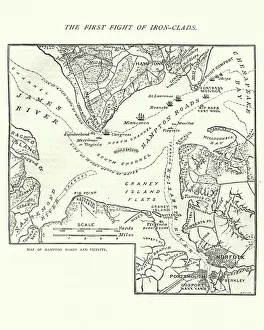
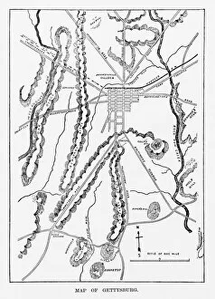
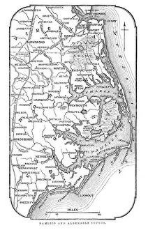
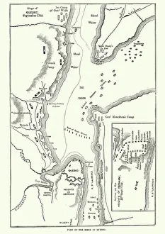
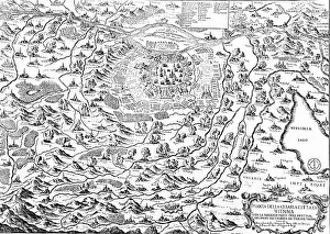
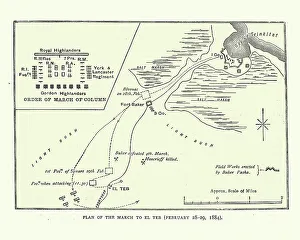
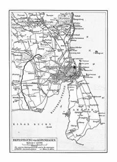
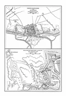
Immerse yourself in the art of war as you explore these intricately detailed visuals, allowing yourself to be transported back in time to witness the unfolding of history's most renowned clashes. Whether you are a history enthusiast, a military strategist, or simply appreciate the artistry of cartography, this collection is sure to captivate and inspire.

All Professionally Made to Order for Quick Shipping