Home > Map > Historical Maps
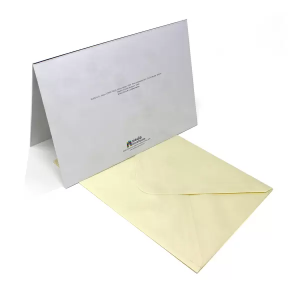
Greetings Card : Antique France Map


![]()
Cards from Fine Art Storehouse
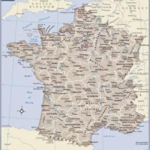
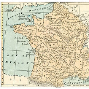
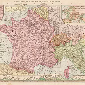
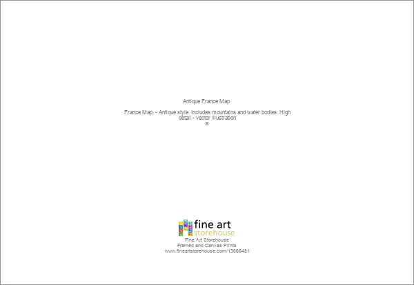
Antique France Map
France Map, - Antique style. Includes mountains and water bodies. High detail - vector illustration
Media ID 13666481
Cartographer Computer Graphic Computer Graphics Frame Geographical Border Globe Globe Navigational Equipment Intricacy Land National Pencil Drawing Picture Frame Plan Planet Space Sketch Topography Vector
Greetings Card (A5)
Create your own greetings card. Size when folded is A5 (14.5x21cm or 5.7x8.3 inches)
Greetings Cards suitable for Birthdays, Weddings, Anniversaries, Graduations, Thank You and much more
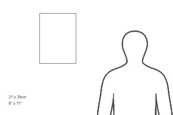
Estimated Image Size (if not cropped) is 21cm x 14.5cm (8.3" x 5.7")
Estimated Product Size is 21cm x 29cm (8.3" x 11.4")
These are individually made so all sizes are approximate
Artwork printed orientated as per the preview above, with landscape (horizontal) orientation to match the source image.
FEATURES IN THESE COLLECTIONS
> Map
> Historical Maps
> Map
MADE IN THE UK
Safe Shipping with 30 Day Money Back Guarantee
FREE PERSONALISATION*
We are proud to offer a range of customisation features including Personalised Captions, Color Filters and Picture Zoom Tools
SECURE PAYMENTS
We happily accept a wide range of payment options so you can pay for the things you need in the way that is most convenient for you
* Options may vary by product and licensing agreement. Zoomed Pictures can be adjusted in the Cart.