Home > World Religion
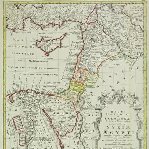
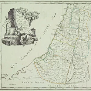
Canvas Print : Antique map of Israel with vignettes


![]()
Canvas Prints from Fine Art Storehouse
Antique map of Israel with vignettes
Hemera Technologies
Media ID 13667363
© Getty Images
18th Century 18th Century Style Adults Antiquities Camping Candelabra Candlestick Holder Delta Direction Document Egypt Egyptian Culture Geography Icon Icons Israel Legend Location Manufactured Object Mediterranean Sea Nile River Only Men Place Positioning Priest Religious Scenes Travels Two People Vignette Vignettes
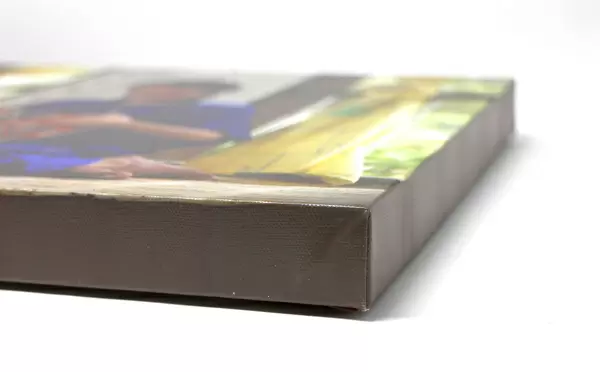
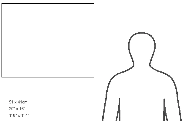
20"x16" (50x40cm) Canvas Print
Ready to hang Premium Gloss Canvas Print. Our archival quality canvas prints are made from Polyester and Cotton mix and stretched over a 1.25" (32mm) kiln dried knot free wood stretcher bar. Packaged in a plastic bag and secured to a cardboard insert for transit.
Canvas Prints add colour, depth and texture to any space. Professionally Stretched Canvas over a hidden Wooden Box Frame and Ready to Hang
Estimated Product Size is 50.8cm x 40.6cm (20" x 16")
These are individually made so all sizes are approximate
Artwork printed orientated as per the preview above, with landscape (horizontal) orientation to match the source image.
FEATURES IN THESE COLLECTIONS
> Map
> Historical Maps
> Map
MADE IN THE UK
Safe Shipping with 30 Day Money Back Guarantee
FREE PERSONALISATION*
We are proud to offer a range of customisation features including Personalised Captions, Color Filters and Picture Zoom Tools
SECURE PAYMENTS
We happily accept a wide range of payment options so you can pay for the things you need in the way that is most convenient for you
* Options may vary by product and licensing agreement. Zoomed Pictures can be adjusted in the Cart.