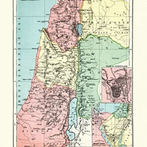
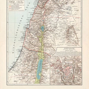
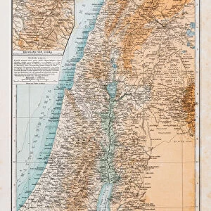
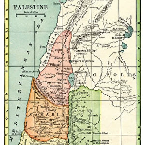
Home > Map > Historical Maps
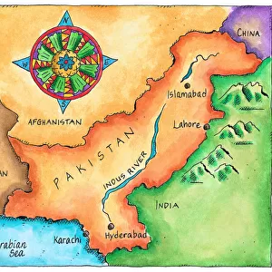
Jigsaw Puzzle : Antique Pakistan


Resolution may be poor at this size (54 DPI)
![]()
Jigsaw Puzzles from Fine Art Storehouse
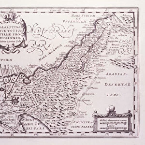
Antique Pakistan
Pakistan Map, - Antique style. Includes mountains and water bodies. High detail - vector illustration
Media ID 13666523
Cartographer Computer Graphic Computer Graphics East Geographical Border Global Intricacy Land Middle East National North Pakistan Pencil Drawing Planet Space Sketch South Topography Vector World Map
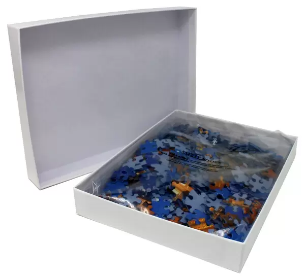
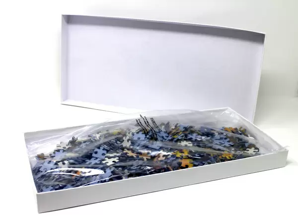
Jigsaw Puzzle (400 Pieces)
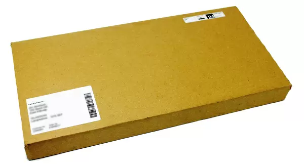
400 piece puzzles are custom made in the UK and hand-finished on 100% recycled 1.5 mm millboard. There is a level of repetition in jigsaw shapes with each matching piece away from its pair. The completed puzzle measures 31x47cm and is delivered packaged in an attractive presentation box specially designed to fit most letter box slots
Jigsaw Puzzles are an ideal gift for any occasion
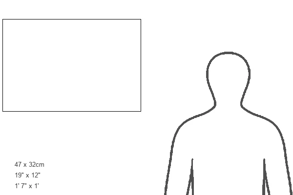
Estimated Product Size is 47.2cm x 31.5cm (18.6" x 12.4")
These are individually made so all sizes are approximate
Artwork printed orientated as per the preview above, with landscape (horizontal) or portrait (vertical) orientation to match the source image.
FEATURES IN THESE COLLECTIONS
> Map
> Historical Maps
> Map
MADE IN THE UK
Safe Shipping with 30 Day Money Back Guarantee
FREE PERSONALISATION*
We are proud to offer a range of customisation features including Personalised Captions, Color Filters and Picture Zoom Tools
SECURE PAYMENTS
We happily accept a wide range of payment options so you can pay for the things you need in the way that is most convenient for you
* Options may vary by product and licensing agreement. Zoomed Pictures can be adjusted in the Cart.