Home > Map > Historical Maps
Greetings Card : Early Map of Dutch Navigation, Victorian Illustration


![]()
Cards from Fine Art Storehouse
Early Map of Dutch Navigation, Victorian Illustration
Very Rare, Beautifully Illustrated Antique Engraved Victorian Illustration of Early Map of Dutch Navigation. Copyright has expired on this artwork. Digitally restored
bauhaus1000
Media ID 13667013
© bauhaus1000
16th Century 16th Century Style 268399 78273 Business Finance And Industry Chart Design Element Direction Dutch Culture European Culture Exploration Explorer Freight Transportation Image Created 16th Century Indonesia Industry Island Island Of Borneo Journey Malaysia Netherlands Pacific Ocean Pattern Sailing Sea Passage Ship Shipping South China Sea Sumatra Sumatra Indonesia
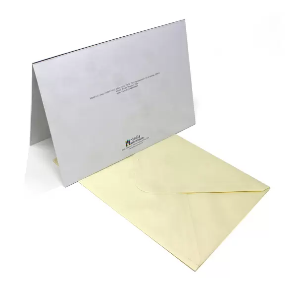
Greetings Card (A5)
Create your own greetings card. Size when folded is A5 (14.5x21cm or 5.7x8.3 inches)
Greetings Cards suitable for Birthdays, Weddings, Anniversaries, Graduations, Thank You and much more
Estimated Image Size (if not cropped) is 14.5cm x 21cm (5.7" x 8.3")
Estimated Product Size is 29cm x 21cm (11.4" x 8.3")
These are individually made so all sizes are approximate
Artwork printed orientated as per the preview above, with portrait (vertical) orientation to match the source image.
FEATURES IN THESE COLLECTIONS
> Map
> Historical Maps
> Map
MADE IN THE UK
Safe Shipping with 30 Day Money Back Guarantee
FREE PERSONALISATION*
We are proud to offer a range of customisation features including Personalised Captions, Color Filters and Picture Zoom Tools
SECURE PAYMENTS
We happily accept a wide range of payment options so you can pay for the things you need in the way that is most convenient for you
* Options may vary by product and licensing agreement. Zoomed Pictures can be adjusted in the Cart.