Home > Map > Historical Maps
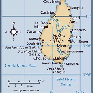
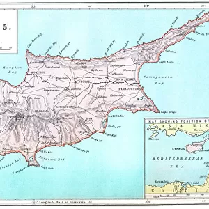
Map of Saint Lucia, 19th Century

![]()
Wall Art and Photo Gifts from Fine Art Storehouse
Map of Saint Lucia, 19th Century
Vintage engraving of Map of Saint Lucia, 19th Century
duncan1890
Media ID 15231355
© This content is subject to copyright
1870s Antilles Caribbean Equipment Ground Island Land Land Feature Lesser Antilles Natural Phenomenon Navigational Equipment Retro St Lucia Style Styles Supplies The Americas Victorian West Indies
FEATURES IN THESE COLLECTIONS
> Map
> Historical Maps
> Map
MADE IN THE UK
Safe Shipping with 30 Day Money Back Guarantee
FREE PERSONALISATION*
We are proud to offer a range of customisation features including Personalised Captions, Color Filters and Picture Zoom Tools
SECURE PAYMENTS
We happily accept a wide range of payment options so you can pay for the things you need in the way that is most convenient for you
* Options may vary by product and licensing agreement. Zoomed Pictures can be adjusted in the Basket.