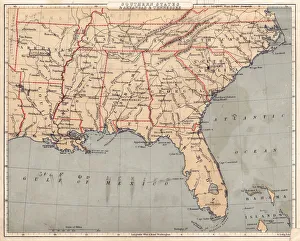
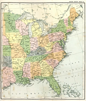
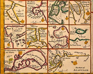
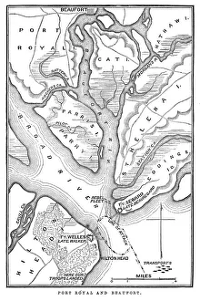
USA Southern States Historical Maps Collection
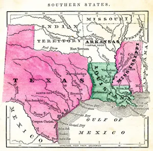
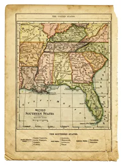
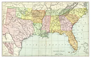
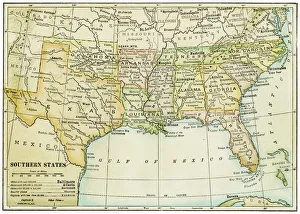
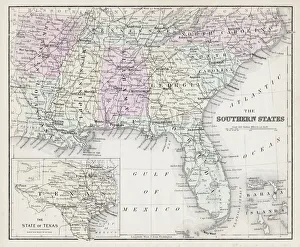
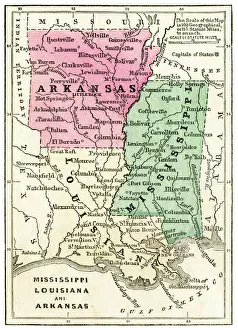
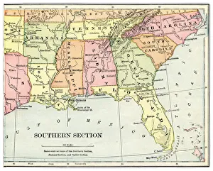
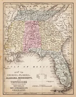
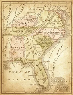
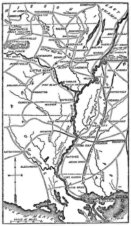
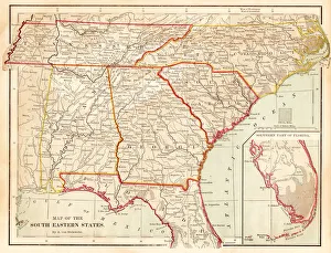
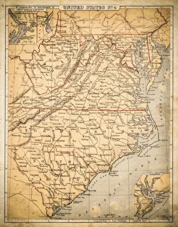
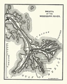
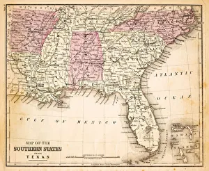
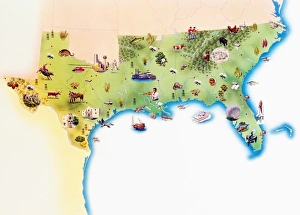
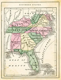
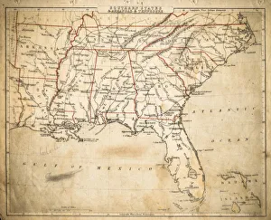
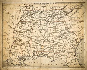
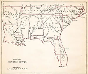
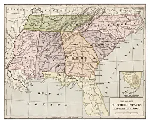
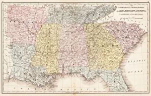
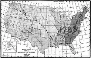
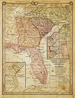
A region with multiple subregions, southeastern United States has a unique culture and a history that includes some really dark times. The Southern States are composed of South Carolina, Georgia, Alabama, Mississippi, Louisiana, Kentucky, Tennessee, North Carolina, West Virginia, Virginia, Arkansas, Texas, Maryland and Florida
Choose a picture from our USA Southern States Historical Maps Collection for your Wall Art and Photo Gifts
31 items