Home > The Magical World of Illustration > Palmer Illustrated Collection
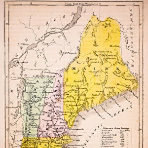
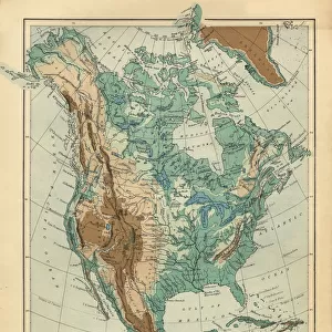
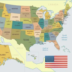
North America political map 1895

![]()
Wall Art and Photo Gifts from Fine Art Storehouse
North America political map 1895
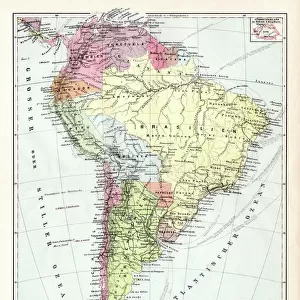
Meyers Konversations-Lexikon. Ein Nachschlagewerk des allgemeinen Wissens, 5th edition 17 volumes Bibliographisches Institut - Leipzig 1895-1897
THEPALMER
Media ID 13611749
© This content is subject to copyright
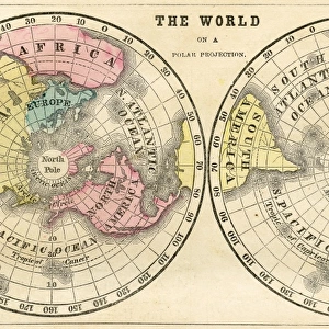
Atlas Mythological Figure Canada Mexico North America Paper World Map
FEATURES IN THESE COLLECTIONS
> The Magical World of Illustration
> Palmer Illustrated Collection
> Map
> Historical Maps
> Map
MADE IN THE UK
Safe Shipping with 30 Day Money Back Guarantee
FREE PERSONALISATION*
We are proud to offer a range of customisation features including Personalised Captions, Color Filters and Picture Zoom Tools
SECURE PAYMENTS
We happily accept a wide range of payment options so you can pay for the things you need in the way that is most convenient for you
* Options may vary by product and licensing agreement. Zoomed Pictures can be adjusted in the Basket.