
Home > Photo Libraries > Heritage Images
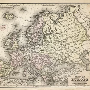
Speeds Map Of Europe

Photo Prints
Jigsaw Puzzles
Poster Prints
Cards
Framed Photos
Home Decor
Mounted Prints
Canvas Prints
Fine Art Prints
Metal Prints
![]()
Wall Art and Photo Gifts from Fine Art Storehouse
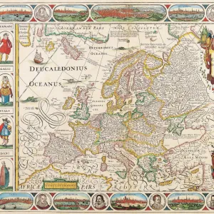
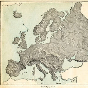
Speeds Map Of Europe
A map of Europe and the coast of North Africa by cartographer John Speed, 1626. Around the edges are insets of the major European cities and their inhabitants. (Photo by Hulton Archive/Getty Images)
Hulton Archive
Media ID 11809464
© 2008 Getty Images
MADE IN THE UK
Safe Shipping with 30 Day Money Back Guarantee
FREE PERSONALISATION*
We are proud to offer a range of customisation features including Personalised Captions, Color Filters and Picture Zoom Tools
SECURE PAYMENTS
We happily accept a wide range of payment options so you can pay for the things you need in the way that is most convenient for you
* Options may vary by product and licensing agreement. Zoomed Pictures can be adjusted in the Basket.
Beautiful Photo Prints and Gifts
Professionally Printed
Photo Prints are in stock
Professional quality finish
Made with high-grade materials
Carefully packed to aid safe arrival
Related Images
+
Shipping
+
Choices
+