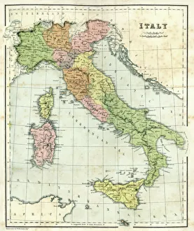
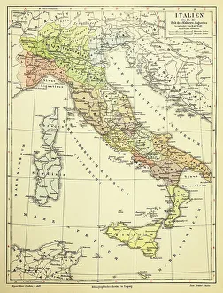
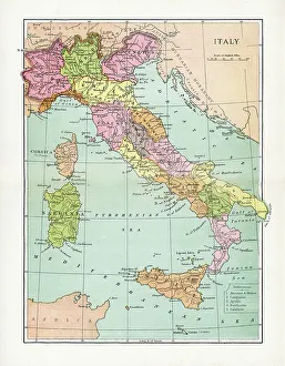
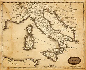
Italian Maps Canvas Print Collection
A collection of captivating old and new maps that reflect Italy's rich history and diverse landscapes
Choose a picture from our collection for your Wall Art and Photo Gifts
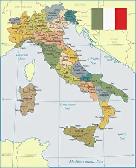
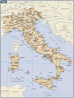
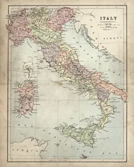
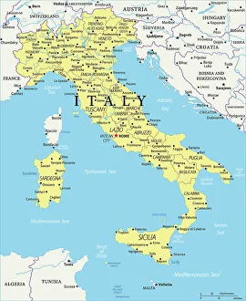
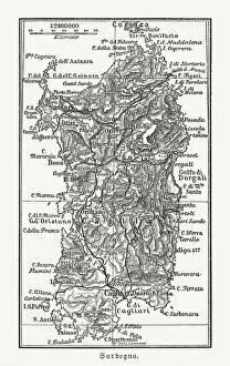
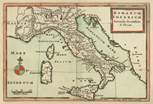
Located in Southern Europe, Italy boasts a distinctive boot-shaped outline that stretches from the majestic Alps in the north to the sun-kissed beaches of the Mediterranean Sea in the south.
221 Canvas Prints