
Fine Art Print > Map

Map Fine Art Print Collection

Charting the Past: Unveiling the Timeless Beauty of Historical Maps

Choose a picture from our collection for your Wall Art and Photo Gifts

Embark on a captivating journey through time with our collection of historical maps. These exquisite prints offer a glimpse into the intricate cartographic artistry of the past, transporting you to eras long gone. Explore the evolving landscapes, uncharted territories, and ancient civilizations that shaped our world.

Indulge your curiosity as you immerse yourself in the meticulously detailed maps that guided explorers, adventurers, and navigators on their extraordinary quests. From the age of early cartography to the golden age of map making, these treasures provide a window into the rich tapestry of human history

3,678 Fine Art Prints

Map Fine Art Print Collection: Art Illustration Maps

Art Illustration Maps Collection
44 Fine Art Prints

Map Fine Art Print Collection: Cartoon Maps

Cartoon Maps Collection
49 Fine Art Prints

Map Fine Art Print Collection: Celestial Maps

Celestial Maps Collection
49 Fine Art Prints

Map Fine Art Print Collection: Denmark Maps

Denmark Maps Collection
79 Fine Art Prints

Map Fine Art Print Collection: Historical Maps

Historical Maps Collection
3,363 Fine Art Prints

Map Fine Art Print Collection: Italian Maps

Italian Maps Collection
207 Fine Art Prints

Map Fine Art Print Collection: Map Illustrations

Map Illustrations Collection
140 Fine Art Prints

Map Fine Art Print Collection: Reference Maps

Reference Maps Collection
1,257 Fine Art Prints

Map Fine Art Print Collection: Satellite Maps

Satellite Maps Collection
19 Fine Art Prints

Map Fine Art Print Collection: Street Maps

Street Maps Collection
290 Fine Art Prints

Map Fine Art Print Collection: USA Maps

USA Maps Collection
723 Fine Art Prints

Background imageMap Fine Art Print Collection: Battle Of Waterloo

Battle Of Waterloo
A plan of the Battle of Waterloo in present-day Belgium during the Napoleonic Wars, 18th June 1815. Here an Anglo-Allied army under the command of the Duke of Wellington defeated the Imperial French

Background imageMap Fine Art Print Collection: Antique map of Britain under the Anglo Saxons

Antique map of Britain under the Anglo Saxons

Background imageMap Fine Art Print Collection: Map of earth population 1895

Map of earth population 1895
Map of earth population

Background imageMap Fine Art Print Collection: Antique map of the Roman Empire

Antique map of the Roman Empire, with a detail on Rome

Background imageMap Fine Art Print Collection: Map of Middle East - illustration

Map of Middle East - illustration
Colored Map of Middle East Asia with Country Names and Capital Cities

Background imageMap Fine Art Print Collection: Map of London in the 17th Century

Map of London in the 17th Century
Vintage Map of London in the 17th Century

Background imageMap Fine Art Print Collection: Map of Anglo-Saxon Kingdoms and the Danelaw, 9th Century

Map of Anglo-Saxon Kingdoms and the Danelaw, 9th Century
Vintage engraving of a Map of Anglo-Saxon Kingdoms and the Danelaw, 9th Century

Background imageMap Fine Art Print Collection: Map of Cyprus, published in 1880

Map of Cyprus, published in 1880
Ancient map of Cyprus. Lithograph, published in 1880

Background imageMap Fine Art Print Collection: Reference Map of Spain

Reference Map of Spain
The Spain Map shows that Spain is situated in south-western Europe. Spain is bordered by Mediterranean Sea, Gibraltar, France, Andorra, Bay of Biscay, Atlantic Ocean and Portugal

Background imageMap Fine Art Print Collection: Sicily map 1895

Sicily map 1895
Meyers Konversations-Lexikon. Ein Nachschlagewerk des allgemeinen Wissens, 5th edition 17 volumes Bibliographisches Institut - Leipzig 1895-1897

Background imageMap Fine Art Print Collection: Map of Whitby

Map of Whitby
Vintage map from 1880 of Whitby a town in North Yorkshire, England.++Inspector: Info about source material uploaded as property release++

Background imageMap Fine Art Print Collection: Cornwall map 1884

Cornwall map 1884
Encyclopedia Britannica 9th Edition New York Charles Scribners and Sons 1884 Vol VI

Background imageMap Fine Art Print Collection: Detailed map of Europe

Detailed map of Europe
url=http:/istockphoto/search/lightbox/12455888]

Background imageMap Fine Art Print Collection: Coloured Map of Nigeria with Flag

Coloured Map of Nigeria with Flag
Nigeria is located in western Africa. Nigeria is bordered by the Gulf of Guinea, Benin to the west, Niger to the north, and Chad and Cameroon to the east

Background imageMap Fine Art Print Collection: Antique map of Britain under the Ancient Romans

Antique map of Britain under the Ancient Romans

Background imageMap Fine Art Print Collection: Map of Malvern Hills in Worcestershire, England Victorian Engraving, 1840

Map of Malvern Hills in Worcestershire, England Victorian Engraving, 1840
Very Rare, Beautifully Illustrated Antique Engraving of Map of Malvern Hills in Worcestershire, England Victorian Engraving, 1840. Source: Original edition from my own archives

Background imageMap Fine Art Print Collection: Map of Ireland 1897

Map of Ireland 1897
Map of Ireland

Background imageMap Fine Art Print Collection: Map of Portugal

Map of Portugal
Antique illustration engraving map og Portugal

Background imageMap Fine Art Print Collection: Antique map of New Zealand in the 19th Century, 1873

Antique map of New Zealand in the 19th Century, 1873
Vintage engraving of a Antique map of New Zealand in the 19th Century, 1873

Background imageMap Fine Art Print Collection: Map of Malvern Hills in Worcestershire, England Victorian Engraving, 1840

Map of Malvern Hills in Worcestershire, England Victorian Engraving, 1840
Very Rare, Beautifully Illustrated Antique Engraving of Map of Malvern Hills in Worcestershire, England Victorian Engraving, 1840. Source: Original edition from my own archives

Background imageMap Fine Art Print Collection: Greece at the beginning of the Peloponnesian War (431-404 BC)

Greece at the beginning of the Peloponnesian War (431-404 BC)
Antique Map of Greece at the beginning of the Peloponnesian War (431 - 404 BC) with the different tribal groups. Steel engraving with hand colored borderlines, published in 1861

Background imageMap Fine Art Print Collection: Great Britain and Ireland map 1867

Great Britain and Ireland map 1867
Mitchell's Modern Atlas - Published by E.H. Butler and Co - Philadelphia 1867

Background imageMap Fine Art Print Collection: Antique colored illustrations: Geological map of England and Wales

Antique colored illustrations: Geological map of England and Wales

Background imageMap Fine Art Print Collection: Old Caucasus map

Old Caucasus map
Antique map of Caucasus

Background imageMap Fine Art Print Collection: Old Antique map of Punjab, Sindh, Rajputana, Kashmir, 1890s, Victorian 19th Century

Old Antique map of Punjab, Sindh, Rajputana, Kashmir, 1890s, Victorian 19th Century
Antique map of Punjab, Sindh, Rajputana, Kashmir, 1890s, Victorian 19th Century

Background imageMap Fine Art Print Collection: Map of Cyprus

Map of Cyprus
Vintage 19th Century map of Cyprus in the eastern Mediterranean Sea

Background imageMap Fine Art Print Collection: Antique Damaged Map of Italy 19th Century

Antique Damaged Map of Italy 19th Century
Antique damaged map of Italy 19th Century

Background imageMap Fine Art Print Collection: Antique map, Scotland, Isle of Skye, South and North Uist

Antique map, Scotland, Isle of Skye, South and North Uist
Vintage engraving of a Antique map, Scotland, Isle of Skye, South and North Uist, Rum 19th Century

Background imageMap Fine Art Print Collection: Antique map, Scotland, Jura, Mull, Argyll, Islay 19th Century

Antique map, Scotland, Jura, Mull, Argyll, Islay 19th Century
Vintage engraving of a Antique map, Scotland, Jura, Mull, Argyll, Islay 19th Century

Background imageMap Fine Art Print Collection: Austro-Hungarian Empire, Habsburg Monarchy, lithograph, published in 1877

Austro-Hungarian Empire, Habsburg Monarchy, lithograph, published in 1877
Ancient map of Austro-Hungarian Empire. Habsburg Monarchy. Lithograph, published in 1877

Background imageMap Fine Art Print Collection: Map of the Scilly Isles

Map of the Scilly Isles
Vintage map from 1880 of the Scilly Isles an archipelago off the southwestern tip of the Cornish peninsula of Great Britain

Background imageMap Fine Art Print Collection: Map of Saint Lucia, 19th Century

Map of Saint Lucia, 19th Century
Vintage engraving of Map of Saint Lucia, 19th Century

Background imageMap Fine Art Print Collection: Map of Europe

Map of Europe
Antique Maps of the World Map of Europe Nicolas Visscher c 1658

Background imageMap Fine Art Print Collection: Antique Map of New Zealand

Antique Map of New Zealand
Vintage map of New Zealand, from 1894

Background imageMap Fine Art Print Collection: Antique map of India

Antique map of India, 1864

Background imageMap Fine Art Print Collection: Map of Bristol

Map of Bristol
" Vintage map from 1880 of the streets and layout of Bristol, England++Inspector: Info about source material uploaded as property release++"

Background imageMap Fine Art Print Collection: Map of Plymouth Sound and the Breakwater, Victorian 19th Century

Map of Plymouth Sound and the Breakwater, Victorian 19th Century
Vintage engraving of Map of Plymouth Sound and the Breakwater, Victorian 19th Century


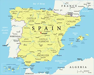
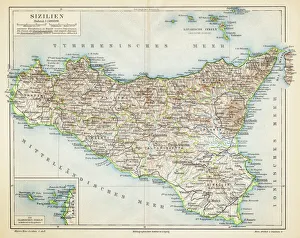
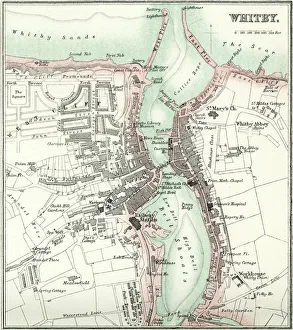
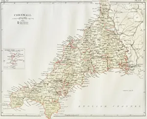
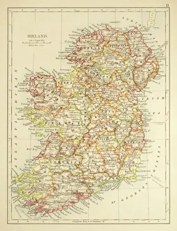
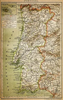
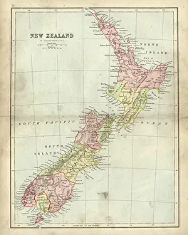
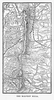
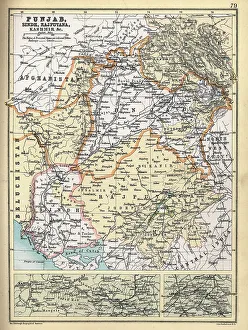
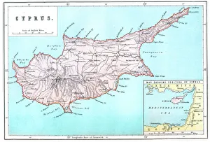
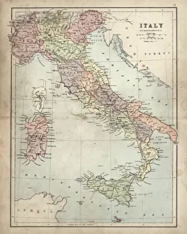
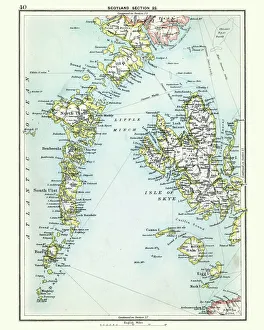
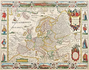
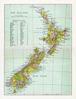
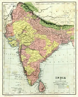
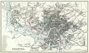
Uncover the allure of these timeless masterpieces, where geography blends with imagination. Whether you're an avid historian, a curious traveller, or an art connoisseur, this collection invites you to witness the remarkable craftsmanship and storytelling embedded in each map. Discover the allure of bygone eras and embark on a visual odyssey with Fine Art Storehouse, where the echoes of the past come alive through the beauty and intricacy of historical maps.

All Professionally Made to Order for Quick Shipping