mail_outline sales@mediastorehouse.com
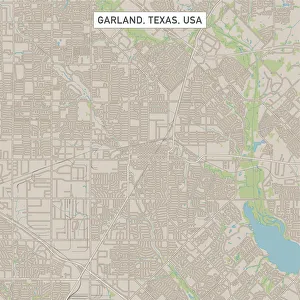
Garland Texas US City Street MapVector Illustration of a City Street Map of Garland, Texas, USA. Scale 1:60, 000. All source data is in the public domain. U.S
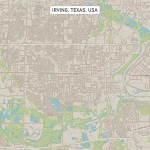
Irving Texas US City Street MapVector Illustration of a City Street Map of Irving, Texas, USA. Scale 1:60, 000. All source data is in the public domain. U.S
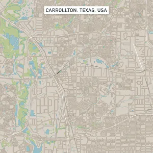
Carrollton Texas US City Street MapVector Illustration of a City Street Map of Carrollton, Texas, USA. Scale 1:60, 000. All source data is in the public domain. U.S
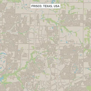
Frisco Texas US City Street MapVector Illustration of a City Street Map of Frisco, Texas, USA. Scale 1:60, 000. All source data is in the public domain. U.S
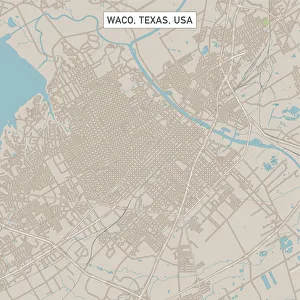
Waco Texas US City Street MapVector Illustration of a City Street Map of Waco, Texas, USA. Scale 1:60, 000. All source data is in the public domain. U.S
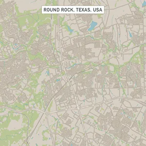
Round Rock Texas US City Street MapVector Illustration of a City Street Map of Round Rock, Texas, USA. Scale 1:60, 000. All source data is in the public domain. U.S
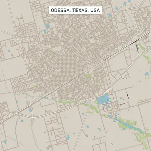
Odessa Texas US City Street MapVector Illustration of a City Street Map of Odessa, Texas, USA. Scale 1:60, 000. All source data is in the public domain. U.S
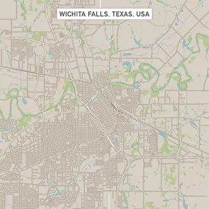
Wichita Falls Texas US City Street MapVector Illustration of a City Street Map of Wichita Falls, Texas, USA. Scale 1:60, 000. All source data is in the public domain. U.S
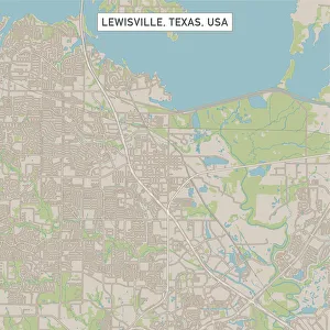
Lewisville Texas US City Street MapVector Illustration of a City Street Map of Lewisville, Texas, USA. Scale 1:60, 000. All source data is in the public domain. U.S
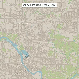
Cedar Rapids Iowa US City Street MapVector Illustration of a City Street Map of Cedar Rapids, Iowa, USA. Scale 1:60, 000. All source data is in the public domain. U.S
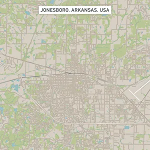
Jonesboro Arkansas US City Street MapVector Illustration of a City Street Map of Jonesboro, Arkansas, USA. Scale 1:60, 000. All source data is in the public domain. U.S
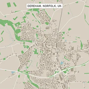
Dereham Norfolk UK City Street MapVector Illustration of a City Street Map of Dereham, Norfolk, UK. Included files are EPS (v10) and Hi-Res JPG. Data courtesy from Ordnance Survey: VectorMap District https
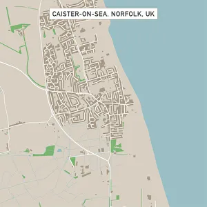
Caister-on-Sea Norfolk UK City Street MapVector Illustration of a City Street Map of Caister-on-Sea, Norfolk, UK. Included files are EPS (v10) and Hi-Res JPG. Data courtesy from Ordnance Survey: VectorMap District https
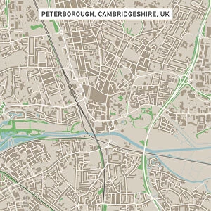
Peterborough Cambridgeshire UK City Street MapVector Illustration of a City Street Map of Peterborough, Cambridgeshire, UK. Included files are EPS (v10) and Hi-Res JPG
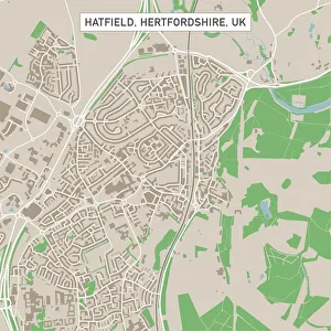
Hatfield Hertfordshire UK City Street MapVector Illustration of a City Street Map of Hatfield, Hertfordshire, UK. Included files are EPS (v10) and Hi-Res JPG. Data courtesy from Ordnance Survey: VectorMap District https
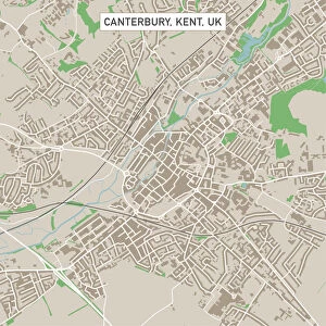
Canterbury Kent UK City Street MapVector Illustration of a City Street Map of Canterbury, Kent, UK. Included files are EPS (v10) and Hi-Res JPG. Data courtesy from Ordnance Survey: VectorMap District https
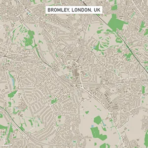
Bromley London UK City Street MapVector Illustration of a City Street Map of Bromley, London, UK. Included files are EPS (v10) and Hi-Res JPG
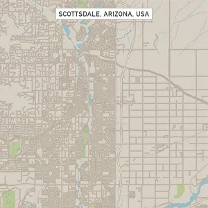
Scottsdale Arizona US City Street MapVector Illustration of a City Street Map of Scottsdale, Arizona, USA. Scale 1:60, 000. All source data is in the public domain. U.S
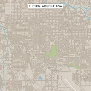
Tucson Arizona US City Street MapVector Illustration of a City Street Map of Tucson, Arizona, USA. Scale 1:60, 000. All source data is in the public domain. U.S
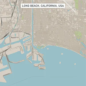
Long Beach California US City Street MapVector Illustration of a City Street Map of Long Beach, California, USA. Scale 1:60, 000. All source data is in the public domain. U.S
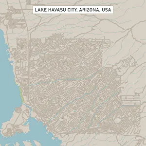
Lake Havasu City Arizona US City Street MapVector Illustration of a City Street Map of Lake Havasu City, Arizona, USA. Scale 1:60, 000. All source data is in the public domain. U.S
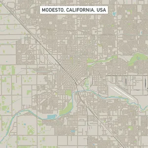
Modesto California US City Street MapVector Illustration of a City Street Map of Modesto, California, USA. Scale 1:60, 000. All source data is in the public domain. U.S
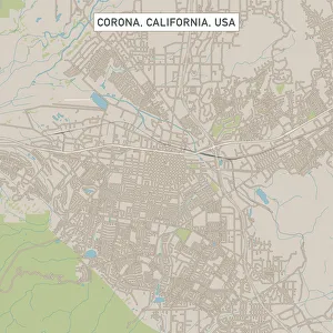
Corona California US City Street MapVector Illustration of a City Street Map of Corona, California, USA. Scale 1:60, 000. All source data is in the public domain. U.S
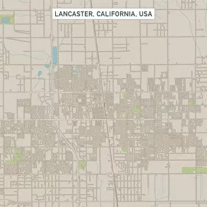
Lancaster California US City Street MapVector Illustration of a City Street Map of Lancaster, California, USA. Scale 1:60, 000. All source data is in the public domain. U.S
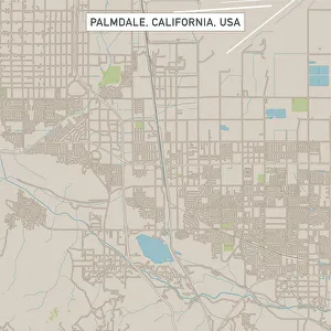
Palmdale California US City Street MapVector Illustration of a City Street Map of Palmdale, California, USA. Scale 1:60, 000. All source data is in the public domain. U.S
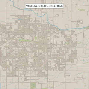
Visalia California US City Street MapVector Illustration of a City Street Map of Visalia, California, USA. Scale 1:60, 000. All source data is in the public domain. U.S
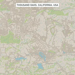
Thousand Oaks California US City Street MapVector Illustration of a City Street Map of Thousand Oaks, California, USA. Scale 1:60, 000. All source data is in the public domain. U.S
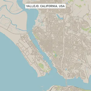
Vallejo California US City Street MapVector Illustration of a City Street Map of Vallejo, California, USA. Scale 1:60, 000. All source data is in the public domain. U.S
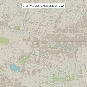
Simi Valley California US City Street MapVector Illustration of a City Street Map of Simi Valley, California, USA. Scale 1:60, 000. All source data is in the public domain. U.S
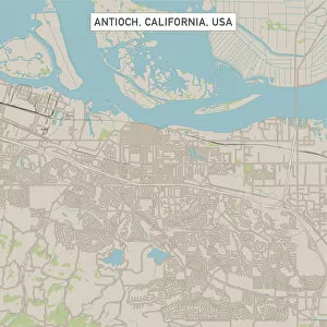
Antioch California US City Street MapVector Illustration of a City Street Map of Antioch, California, USA. Scale 1:60, 000. All source data is in the public domain. U.S
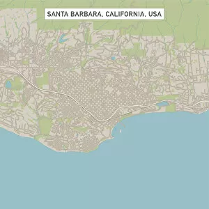
Santa Barbara California US City Street MapVector Illustration of a City Street Map of Santa Barbara, California, USA. Scale 1:60, 000. All source data is in the public domain. U.S
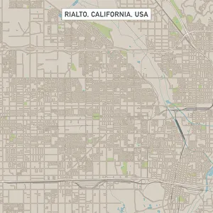
Rialto California US City Street MapVector Illustration of a City Street Map of Rialto, California, USA. Scale 1:60, 000. All source data is in the public domain. U.S
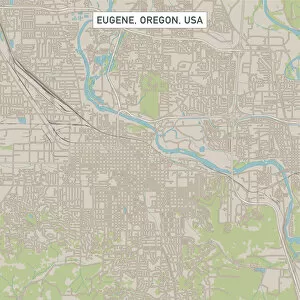
Eugene Oregon US City Street MapVector Illustration of a City Street Map of Eugene, Oregon, USA. Scale 1:60, 000. All source data is in the public domain. U.S
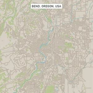
Bend Oregon US City Street MapVector Illustration of a City Street Map of Bend, Oregon, USA. Scale 1:60, 000. All source data is in the public domain. U.S
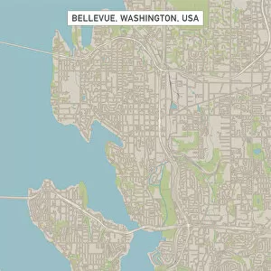
Bellevue Washington US City Street MapVector Illustration of a City Street Map of Bellevue, Washington, USA. Scale 1:60, 000. All source data is in the public domain. U.S
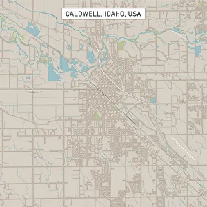
Caldwell Idaho US City Street MapVector Illustration of a City Street Map of Caldwell, Idaho, USA. Scale 1:60, 000. All source data is in the public domain. U.S
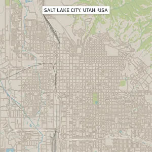
Salt Lake City Utah US City Street MapVector Illustration of a City Street Map of Salt Lake City, Utah, USA. Scale 1:60, 000. All source data is in the public domain. U.S
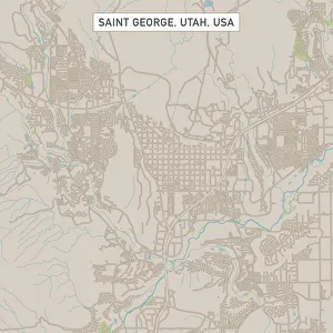
Saint George Utah US City Street MapVector Illustration of a City Street Map of Saint George, Utah, USA. Scale 1:60, 000. All source data is in the public domain. U.S
Laramie Wyoming US City Street MapVector Illustration of a City Street Map of Laramie, Wyoming, USA. Scale 1:60, 000. All source data is in the public domain. U.S
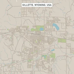
Gillette Wyoming US City Street MapVector Illustration of a City Street Map of Gillette, Wyoming, USA. Scale 1:60, 000. All source data is in the public domain. U.S
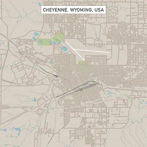
Cheyenne Wyoming US City Street MapVector Illustration of a City Street Map of Cheyenne, Wyoming, USA. Scale 1:60, 000. All source data is in the public domain. U.S
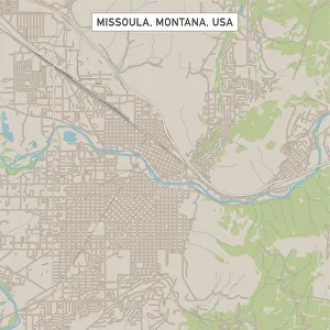
Missoula Montana US City Street MapVector Illustration of a City Street Map of Missoula, Montana, USA. Scale 1:60, 000. All source data is in the public domain. U.S
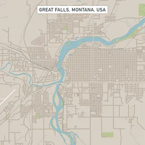
Great Falls Montana US City Street MapVector Illustration of a City Street Map of Great Falls, Montana, USA. Scale 1:60, 000. All source data is in the public domain. U.S
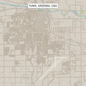
Yuma Arizona US City Street MapVector Illustration of a City Street Map of Yuma, Arizona, USA. Scale 1:60, 000. All source data is in the public domain. U.S
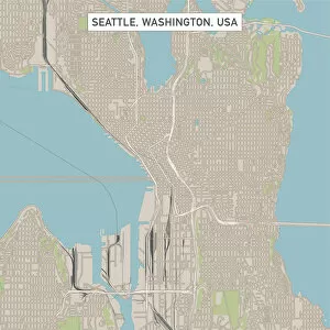
Seattle Washington US City Street MapVector Illustration of a City Street Map of Seattle, Washington, USA. Scale 1:60, 000. All source data is in the public domain. U.S
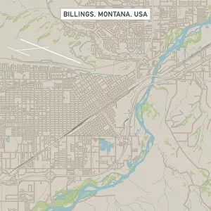
Billings Montana US City Street MapVector Illustration of a City Street Map of Billings, Montana, USA. Scale 1:60, 000. All source data is in the public domain. U.S
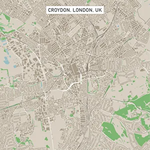
Croydon London UK City Street MapVector Illustration of a City Street Map of Croydon, London, UK. Included files are EPS (v10) and Hi-Res JPG. Data courtesy from Ordnance Survey: VectorMap District https
Sakura traintrain - vehicle, outdoors, flower, color image, photography, cherry blossom, tree, springtime, transportation, aerial view, pink color, rail transportation, railroad track, season