mail_outline sales@mediastorehouse.com
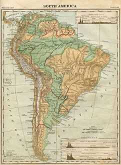
South America Map Illustration, Travel, Exploration, Antique 1871 IllustrationColor stock photo of an antique South America map illustration. Salvaged from an 1871 geography book
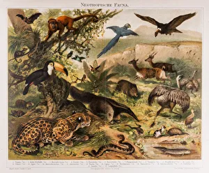
Neotropical Fauna Antique Lithograph 1896Neotropical Fauna Original Antique Chromolithograph
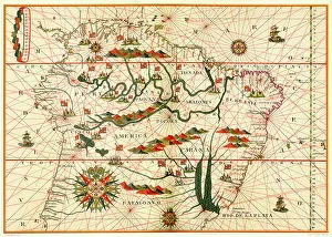
Map of South America, from a Spanish Atlas, 1582
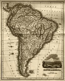
Map of South America (early 19th century steel engraving)A steel engraving of a map from the early 19th century of Brazil and Paraguay in South America, from A System of Geography, Popular and Scientific, or A Physical, Political
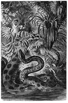
Yellow anaconda (Eunectes notaeus)Illustration of a Yellow anaconda (Eunectes notaeus)
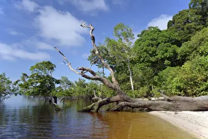
Tree trunk of a giant rainforest trees lying on the banks of the Amazon and Rio Solimoes, Mamiraua Sustainable Development Reserve in Tefe, Amazonas, Brazil
Piranha Piraya (Pygocentrus piraya)Illustration of a Piranha Piraya (Pygocentrus piraya)
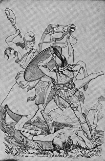
Battle Of the SexesA female Amazon warrior atop a horse swings her battleaxe to strike the shield of an enemy male warrior on foot who attempts to seize the bridle of her horse in a 19th Century illustration by T
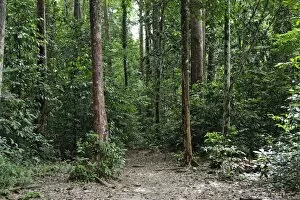
Amazon rainforest, Belem, state of Para, Brazil, South America
Bank of the Rio Solimoes river with flooded Varzea forest, Mamiraua National Park, Manaus, Amazonas, Brazil
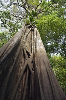
Giant rainforest tree in the flooded Varzea forest, Mamiraua National Park, Manaus, Amazonas, Brazil
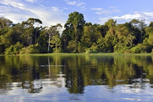
Dusk at a lake-like widened part of the Amazon or Rio Solimoes, Mamiraua Sustainable Development Reserve, Manaus, Amazonas, Brazil
Typical floating house for the Amazon, Tefe, Amazonas Province, Brazil
Favela riverside slum in Amazonia, Tefe, department of Amazonas, Brazil
White-fronted Capuchin -Cebus albifrons-, Mamiraua Sustainable Development Reserve, Amazonas, Brazil