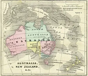
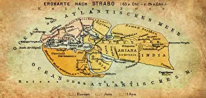
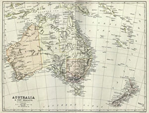
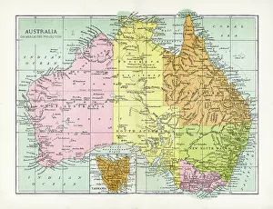
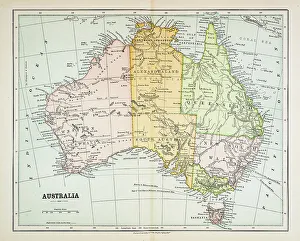
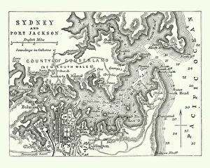
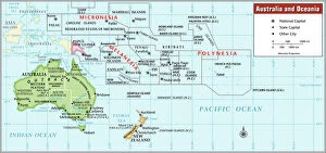
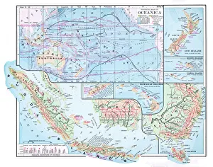
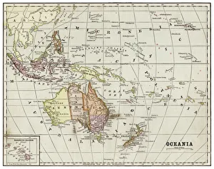
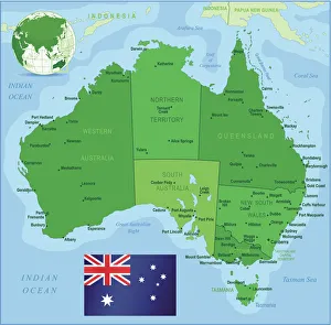
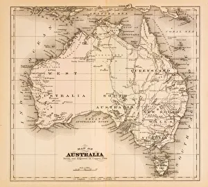
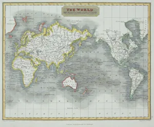
cartography, compass rose, indian ocean, map, melanesia, mercator projection, micronesia, new zealand, no people, oceania, pacific ocean, political map, polynesia, tropic of capricorn, australia
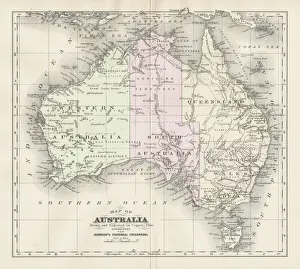
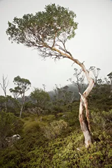
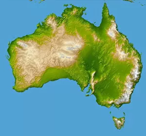
2001, Artificial, Australia, Color Image, Desert, Digital Composite, Environment
2001, Artificial, Australia, Color Image, Desert, Digital Composite, E, Science Photo Library, 85757256