mail_outline sales@mediastorehouse.com
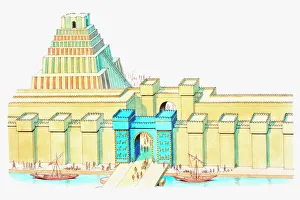
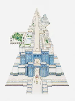
Illustration of Ishtar Gate and Ziggurat in ancient city of Babylon
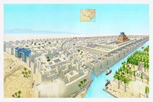
Illustration of ancient city of Babylon
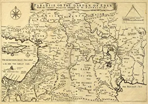
Middle East Ancient Map, Garden of Eden, 1675This may appear to be a straightforward map of the Middle East. However, closer inspection will reveal some extraordinary details, a number of descriptions on the map refer to stories from the Bible
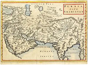
Antique map of Persia and Arabia 1730Original antique copper engraved map by H. Moll, titled Persia Sive Shahistana, published in 1747 for the Universal History (London, T. Osborne & J. Shipton, 8 vols. 1747)
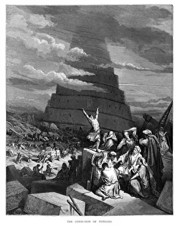
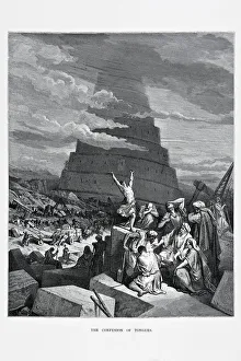
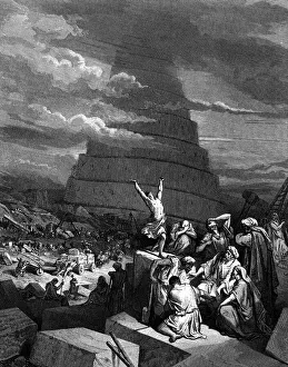
Babel tower engraving 1870The Dore Gallery by Edmund Ollier - Cassel, Petter and Galpin (London-New York) 1870
The confusion of tongues, a scence from the bible. The Tower of Babel in the background. Engraving from 1870. Engraving by Gustave Dore, Photo by D Walker
Black and white drawing of Tower of Babel[url=http://www.istockphoto.com/file_search.php?action=file&lightboxID=11047139][img]http://img-fotki.yandex.ru/get/5809/5232617.2/0_702d2_40b270_orig[/img][/url] The confusion of tongues at
Babylonian Items From A PalaceIllustration of a Babylonian Items From A Palace
Illustration of Ishtar Gate and other buildings along Processional Way in ancient city of Babylon
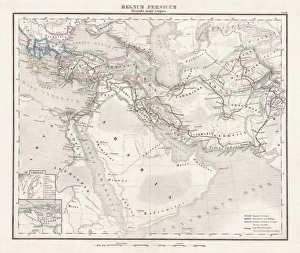
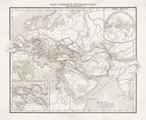
Persian Empire (c. 400 BC), steel engraving, pubolished in 1861Antique map from the Persian Empire (around 400 BC) before the conquest of Alexander the Great (334/335 BC). Legend in Latin language. Steel engraving with hand colored borderlines, published in 1861
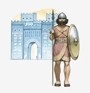
Illustration of Chaldean soldier with shield and spear standing in front of Babylons Ishtar Gate
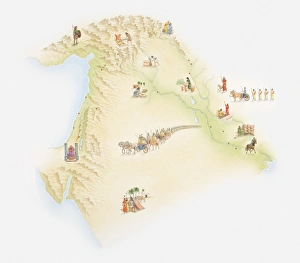
Illustrated map of ancient Babylon
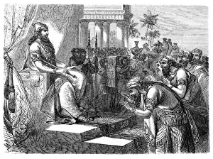
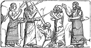
Paying homage to an Assyrian rulerIllustration of a Paying homage to an Assyrian ruler
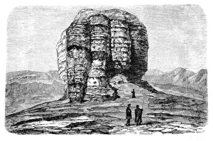
The tower of Nimrod from the ruins of BabylonIllustration of a The tower of Nimrod from the ruins of Babylon
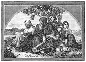
Israelites in Babylonian captivityIllustration of a Israelites in Babylonian captivity
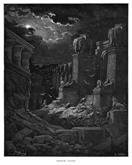
Babylon fallen engraving 1870The Dore Gallery by Edmund Ollier - Cassel, Petter and Galpin (London-New York) 1870
Assyria and Phersia Empire c. 500 BC, steel engraving, published 1661Antique map from Assyrian and Persian Empire, c. 500 BC. Legend in Latin language. Steel engraving with hand colored borderlines, published in 1861
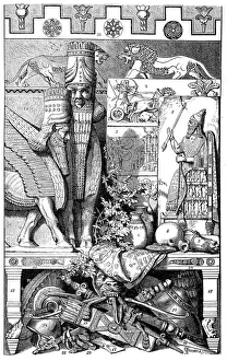
Babylonian and Assyrian art, Relief from Khorsabad
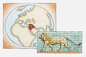
Illustration of lion in front of map highlighting territory of ancient Babylon
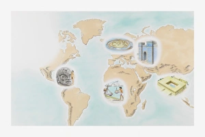
Illustration showing the first cities around the world at Wasserburg Bachau, Babylon, Mohenjo-daro, Shadoof irrigation, and the Olmecs La Venta
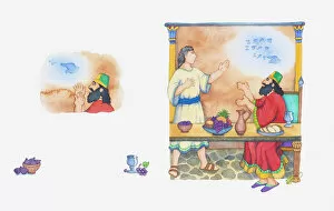
Illustration of a bible scene, Daniel 5, writing on the wall at King Belshazzars feast
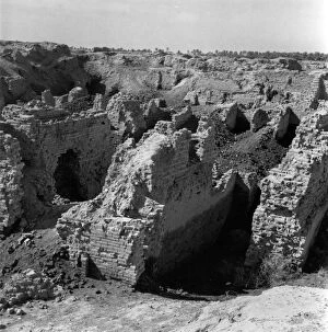
Hanging Gardens24th June 1950: The ruined substructure of the Hanging Gardens of Babylon, one of the Seven Wonders of the World. Original Publication: Picture Post - 5071 - War In The Desert - pub
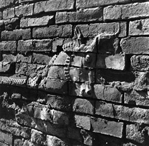
Carving On Wall24th June 1950: A carving of a horse on a wall in the ruins of Babylon. Original Publication: Picture Post - 5071 - War In The Desert - pub. 1950 (Photo by Raymond Kleboe/Picture Post/Getty Images)
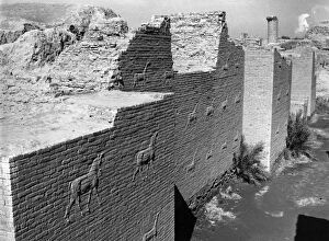
Wall Carvings24th June 1950: Wall carvings in the ruins of Babylon. Original Publication: The Ishtar Gate and hanging towers of Babylon