mail_outline sales@mediastorehouse.com
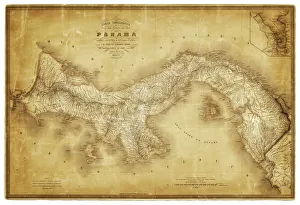
Map of Panama 1864Map of Panama - combined with 2 different texture overlays
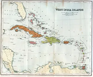
Vintage map of the West India Islands 1860s
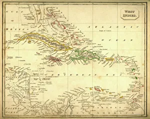
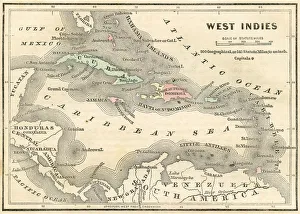
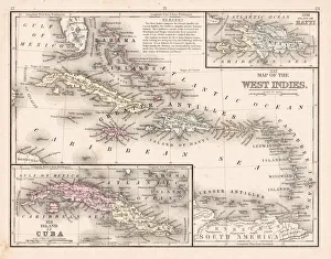
Antquie Map of The West IndiesVintage map of The West Indies from 1837
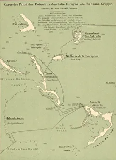
Map Of Columbus Route In BahamasMap tracing Italian explorer Christopher Columbus route upon his arrival in the Bahamas, 1492. (Kean Collection/Getty Images)
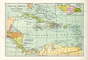
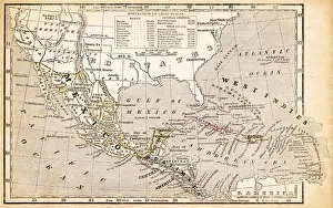
1883 Map Of Central America
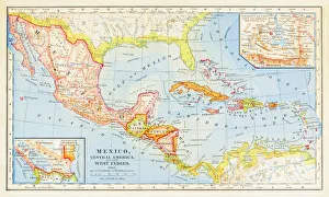
Antique Map of Central America and West IndesVintage map of Central America and West Indes, from 1894
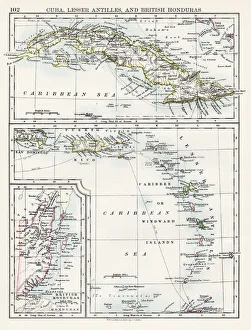
Cuba lesser antilles map 1897The World-Wide Atlas of Modern Geography, Political and Physical W. & A.K. Johnston - London 1897
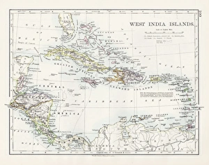
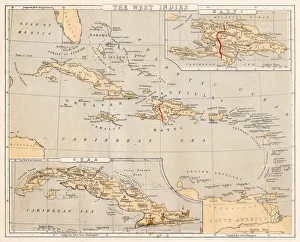
West indies map 1897The World-Wide Atlas of Modern Geography, Political and Physical W. & A.K. Johnston - London 1897
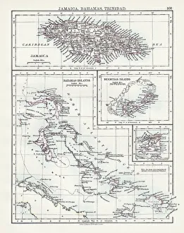
Jamaica Bahamas Trinidad map 1897The World-Wide Atlas of Modern Geography, Political and Physical W. & A.K. Johnston - London 1897
West Indies map 1869Cornells Grammars-School Geography - S.S. Cornell - New York D. Appleton and Company 1869
West Indies map 1855System of Geography for the use of schools by Sidney E. Morse - Published by Harper & Brothers - New York 1855
West Indies map 1856Colton and Fitchs Modern School Geography by George W. Fitch - New York 1856
West Indies map 1867Mitchellas Modern Atlas - Published by E.H. Butler and Co - Philadelphia 1867
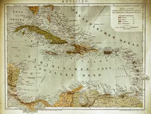
West indies, Antilles mapIllustration of a West indies, Antilles map
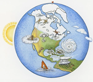
Illustration of various weather conditions in different parts of the world
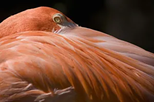
Caribbean Flamingo (Phoenicopterus ruber), close-up of headBahamas, New Providence Island, Nassau, Ardastra Gardens
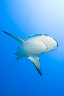
Lemon shark (Negaprion brevirostris), Bahamas
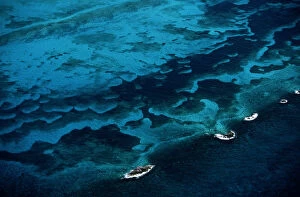
Bahamas, Great Bahamas Bank, aerial view