mail_outline sales@mediastorehouse.com
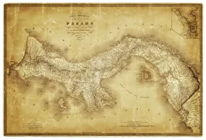
Map of Panama 1864Map of Panama - combined with 2 different texture overlays
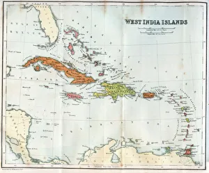
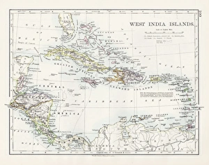
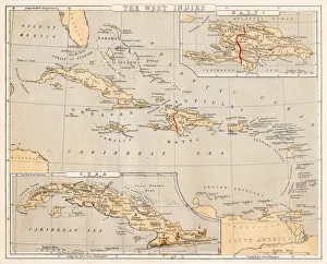
Vintage map of the West India Islands 1860s
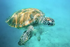
Two sea turtlesClose up of two sea turtles in Caribbean, Barbados, West Indies
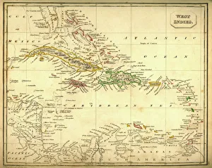
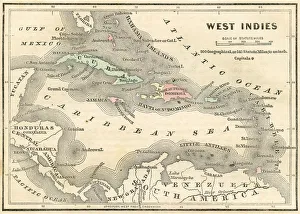
Antquie Map of The West IndiesVintage map of The West Indies from 1837
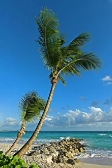
Palm trees on the beach, Saint Lawrence Gap, Barbados
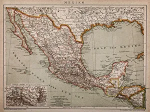
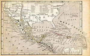
Map of MexicoAntique map of Mexico
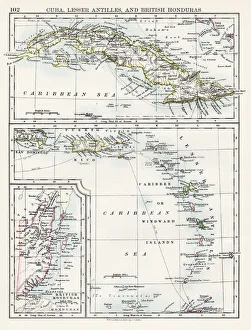
Cuba lesser antilles map 1897The World-Wide Atlas of Modern Geography, Political and Physical W. & A.K. Johnston - London 1897
West indies map 1897The World-Wide Atlas of Modern Geography, Political and Physical W. & A.K. Johnston - London 1897
Baby monkey portraitYoung green monkey held by mother. Barbados, Caribbean, West Indies
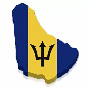
Outline and flag of Barbados, 3D
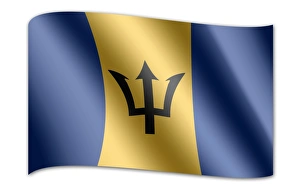
Flag of Barbados
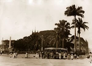
Trafalgar Square14th March 1927: Trafalgar Square in Bridgetown Barbados, showing the War Memorial and Post Offices. (Photo by Topical Press Agency/Getty Images)
West Indies map 1869Cornells Grammars-School Geography - S.S. Cornell - New York D. Appleton and Company 1869
West Indies map 1855System of Geography for the use of schools by Sidney E. Morse - Published by Harper & Brothers - New York 1855
West Indies map 1856Colton and Fitchs Modern School Geography by George W. Fitch - New York 1856
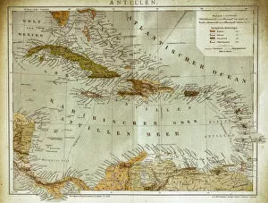
West indies, Antilles mapIllustration of a West indies, Antilles map
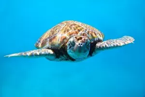
Sea turtle close upClose up of sea turtle in Caribbean, Barbados, West Indies
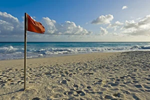
Red flag, storm warning at the beach, Saint Lawrence Gap, Barbados