mail_outline sales@mediastorehouse.com
People playing football on Ipanema beach in Rio
View Of Iguazu Falls From Brazilian Side, Parana State, South America
Iguazu Waterfalls, Brazil / ArgentinaIguazu Waterfalls, Brazil/Argentina
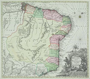
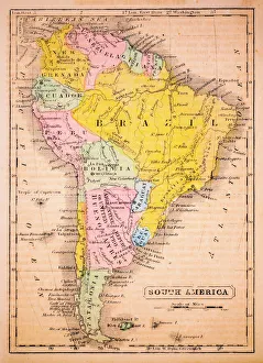
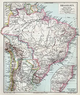
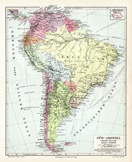
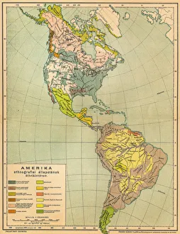
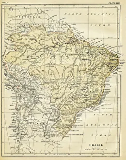
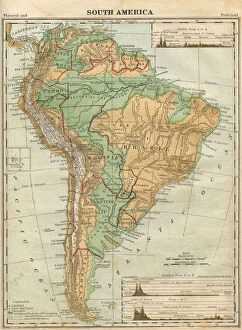
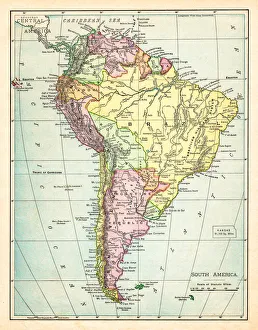
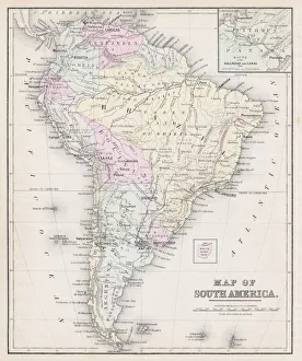
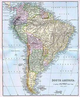
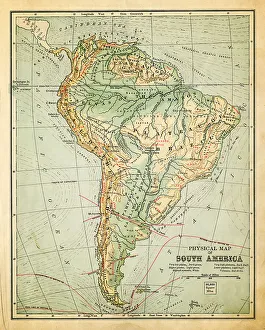
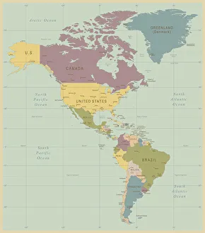
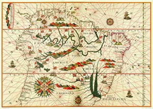
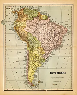
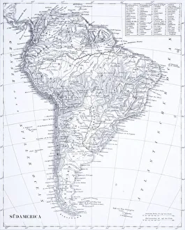
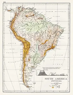
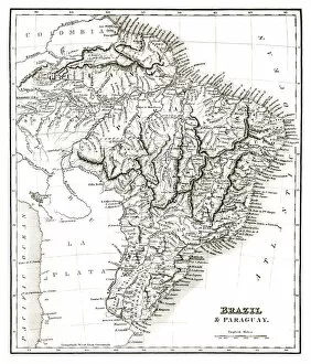
antique, archival, brasil, brasilia, brazil, cartography, cartouche, colored, decorative, distribution, districts, elegant, geography, historic, indigenous peoples, key, legend, location, map
South America 1852 Map
Brazil map 1895Meyers Konversations-Lexikon. Ein Nachschlagewerk des allgemeinen Wissens, 5th edition 17 volumes Bibliographisches Institut - Leipzig 1895-1897
South America political map 1895Meyers Konversations-Lexikon. Ein Nachschlagewerk des allgemeinen Wissens, 5th edition 17 volumes Bibliographisches Institut - Leipzig 1895-1897
American ethnographic mapIllutration of American ethnographic map
Iguazu Falls, Brazil, South America
Portable toilet on the beach, Jijoca de Jericoacoara, Ceara, Brazil
Map of Brazil 1878Encyclopedia Britannica 9th Edition Vol II New York, Samuel Hall 1878
South America Map Illustration, Travel, Exploration, Antique 1871 IllustrationColor stock photo of an antique South America map illustration. Salvaged from an 1871 geography book
Map of South America 1895The Rand-McNally Grammar School Geography 1895 - Chicago & New York
Map of South America 1877Warrens Common School Geography 1877
South America Physical map 1897The World-Wide Atlas of Modern Geography, Political and Physical W. & A.K. Johnston - London 1897
Antique Map by Leonardo Da Vinci 1515 and the Hauslab Globe
Map of South America 19th CenturyVintage map of South America from the 19th Century
old map of south americaan old south american map (1881)
Vintage Map of North and South America534055040
Map of South America, from a Spanish Atlas, 1582
south america 1883an old south american map (1883)
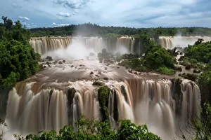
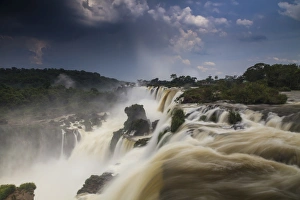
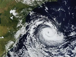
Aerial, Brazil, Cyclone, Earth (Planet), High Angle View, Hurricane, Location, MotionAerial, Brazil, Cyclone, Earth (Planet), High Angle View, Hurricane, L, 78315323
Map of Rio de Janeiro 1898Map of Rio de Janeiro - In German Language
Engraving: South AmericaEngraved illustrations of South America from Iconographic Encyclopedia of Science, Literature and Art, Published in 1851. Copyright has expired on this artwork. Digitally restored
Amrican Native People, lithograph, published in 1897Amrican Native People: 1) Aleutian people; 2) Tlingit people (Koloschen, Koloshi); 3 - 4) Eskimos, man and wife; 5) Kowitschin people, Vancouver, Britisch-Columbia); 6) Absarokee (Crow Nation)
The Continent of South America, Circa 1850Engraved illustrations of the Map of South America from Iconographic Encyclopedia of Science, Literature and Art, Published in 1851. Copyright has expired on this artwork. Digitally restored
Forests, Lakes, Caves and Unusual Rock Formations EngravingEngraved Illustrations of Forests, Lakes, Caves and Unusual Rock Formations from Iconographic Encyclopedia of Science, Literature and Art, Published in 1851. Copyright has expired on this artwork
South America map 1897The World-Wide Atlas of Modern Geography, Political and Physical W. & A.K. Johnston - London 1897
Peru map 1885Encyclopedia Britannica 9th Edition New York Charles Scribners and Sons 1885 Vol XVIII
South America map 1893Johnsonas Universal Cyclopedia - Charles Kendall - New York 1893
Argentina, Chile, Bolivia, Uruguay, and Paraguay, lithograph, published in 1897Argentina, Chile, Bolivia, Uruguay, and Paraguay. Lithograph, published in 1897
Salvador and surrounding, Bahia, Brazil, wood engraving, published in 1897Map of Salvador and surrounding, Bahia, Brazil. Wood engraving, published in 1897
South America map 1881Harpers School Geography, New York, Harpers and Brothers, 1881
Jungle FallsWater cascading through the jungle at Iguazu Falls, one of the natural wonders of the world
Argentine Black and White Tegu (Tupinambis merianae), Iguazu Falls, Brazil / ArgentinaArgentine Black and White Tegu (Tupinambis merianae), Iguazu Falls, Brazil/Argentina
Silver Vase, Urn Plant -Aechmea fasciata-, native to Brazil
Map of Brazil and Paraguay (early 19th century steel engraving)A steel engraving of a map from the early 19th century of Brazil and Paraguay in South America, from A System of Geography, Popular and Scientific, or A Physical, Political
Map of South America (early 19th century steel engraving)A steel engraving of a map from the early 19th century of Brazil and Paraguay in South America, from A System of Geography, Popular and Scientific, or A Physical, Political
Antquie Map of South AmericaVintage map of South America from 1837
Antique damaged map of South America in the 19th CenturyVintage engraving of a Antique map of South America in the 19th Century, 1873
The Devils ThroatWater cascades down the Devils Throat - one of the main waterfalls making up Iguazu Falls
Iguazu FallsWater cascades through the jungle along one of the many of the falls making up Iguazu Falls